ملف:Location of Lakhsh District in Tajikistan.png

حجم هذه المعاينة: 800 × 512 بكسل. البعد الآخر: 1٬601 × 1٬025 بكسل.
الملف الأصلي (1٬601 × 1٬025 بكسل حجم الملف: 36 كيلوبايت، نوع MIME: image/png)
| ⧼wm-license-information-description⧽ |
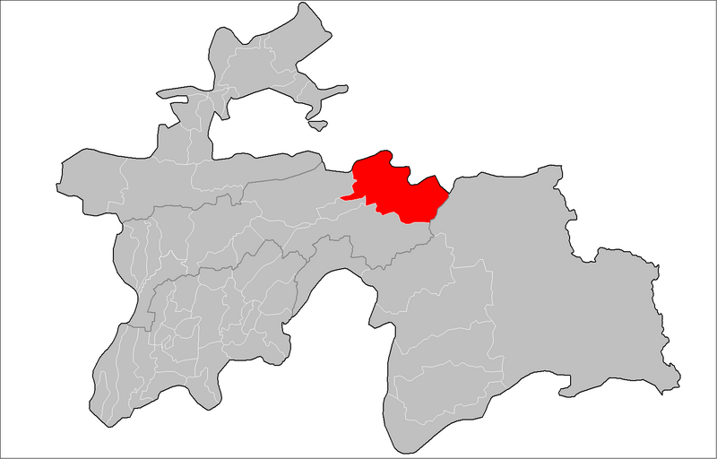
English: Location of Jirgatol District in Tajikistan
قالب:Country data Расположение Джиргатальского района в Таджикистане قالب:Uk |
| ⧼wm-license-information-date⧽ | 2009 |
| ⧼wm-license-information-source⧽ | Tajikistan_districts.png |
| ⧼wm-license-information-author⧽ |
|
قالب:Original upload log
This image is a derivative work of the following images:
- File:Tajikistan_districts.png licensed with PD-self, PD-self/en
- 2009-02-10T23:46:18Z Ahonc 1601x1025 (36712 Bytes) Norak District belongs to Khatlon Province
- 2009-01-28T16:36:06Z Ahonc 1601x1025 (36759 Bytes)
- 2007-08-06T19:57:28Z Rarelibra 1601x1025 (34585 Bytes) Map of the raions of Tajikistan. Created by ~~~~ for public domain use, using MapInfo Professional v8.5 and various mapping resources.
تاريخ الملف
اضغط على زمن/تاريخ لرؤية الملف كما بدا في هذا الزمن.
| زمن/تاريخ | صورة مصغرة | الأبعاد | مستخدم | تعليق | |
|---|---|---|---|---|---|
| حالي | ★ مراجعة معتمدة 01:06، 31 أكتوبر 2023 | | 1٬601 × 1٬025 (36 كيلوبايت) | Pastakhov (نقاش | مساهمات) | Upload https://upload.wikimedia.org/wikipedia/commons/c/c2/Location_of_Lakhsh_District_in_Tajikistan.png |
لا يمكنك استبدال هذا الملف.
وصلات
لا يوجد صفحات تصل لهذه الصورة.