ملف:Location map of the Falklands – Alternative version 4.svg

حجم معاينة PNG لذلك الملف ذي الامتداد SVG: 708 × 600 بكسل. البعد الآخر: 2٬417 × 2٬048 بكسل.
الملف الأصلي (ملف SVG، أبعاده 1٬440 × 1٬220 بكسل، حجم الملف: 2٫6 ميجابايت)
وصف قصير
| ⧼wm-license-information-description⧽ |
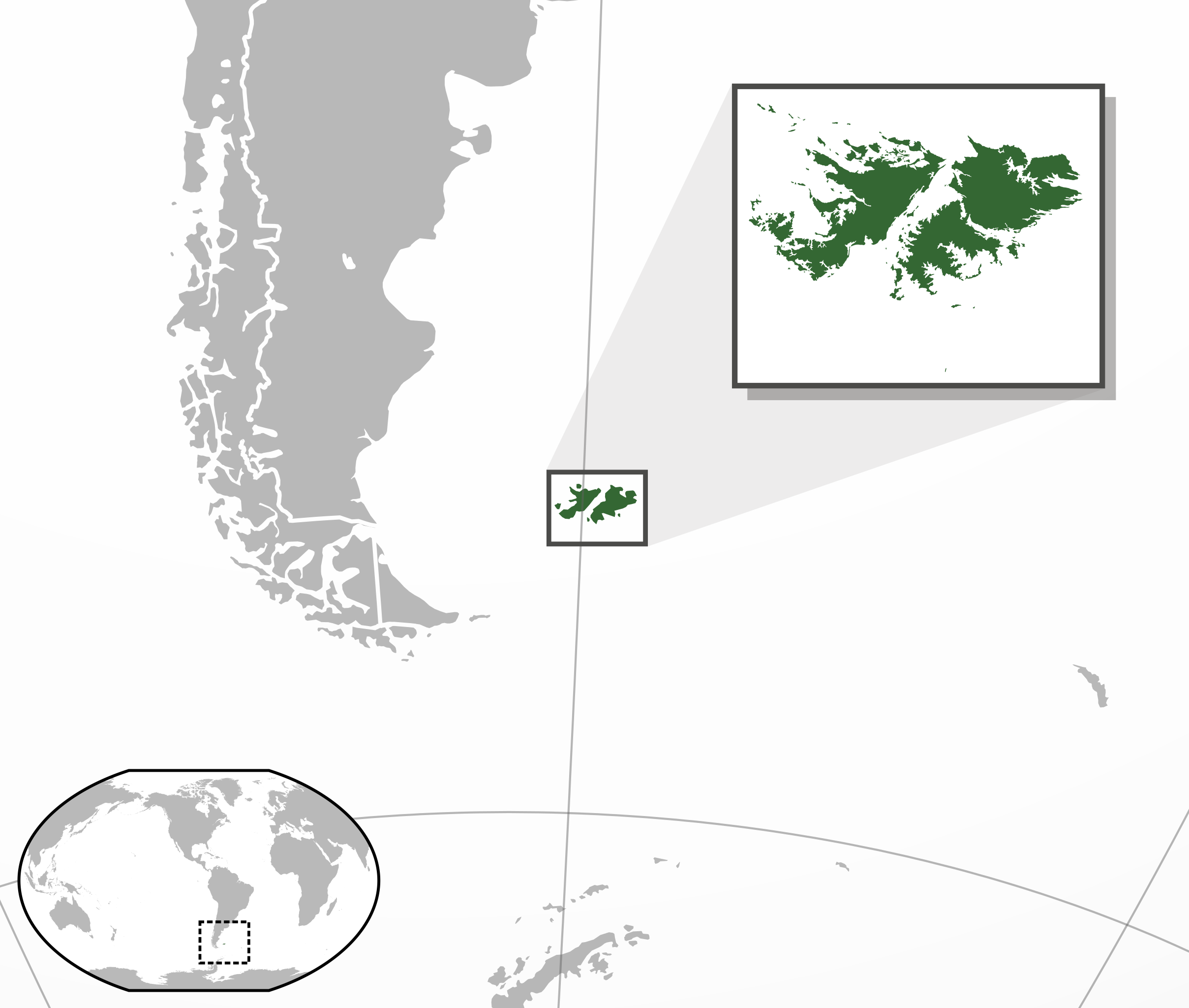
English: Location map of the Falklands.
|
| ⧼wm-license-information-date⧽ | 2014, {{time}} – invalid date format 42 (help) |
| ⧼wm-license-information-source⧽ | Natural Earth Data File:Falkland Islands blank.svg |
| ⧼wm-license-information-author⧽ | Rob File:Falkland Islands blank.svg by Hogweard |
ترخيص
|
تاريخ الملف
اضغط على زمن/تاريخ لرؤية الملف كما بدا في هذا الزمن.
| زمن/تاريخ | صورة مصغرة | الأبعاد | مستخدم | تعليق | |
|---|---|---|---|---|---|
| حالي | ★ مراجعة معتمدة 01:27، 2 نوفمبر 2023 | | 1٬440 × 1٬220 (2٫6 ميجابايت) | Pastakhov (نقاش | مساهمات) | Upload https://upload.wikimedia.org/wikipedia/commons/a/ac/Location_map_of_the_Falklands_%E2%80%93_Alternative_version_4.svg |
لا يمكنك استبدال هذا الملف.
وصلات
لا يوجد صفحات تصل لهذه الصورة.