ملف:Localización de la Región de Canarias.svg

حجم معاينة PNG لذلك الملف ذي الامتداد SVG: 643 × 600 بكسل. البعد الآخر: 2٬196 × 2٬048 بكسل.
الملف الأصلي (ملف SVG، أبعاده 799 × 745 بكسل، حجم الملف: 638 كيلوبايت)
وصف قصير
قالب:Igen
| ⧼wm-license-information-description⧽ |
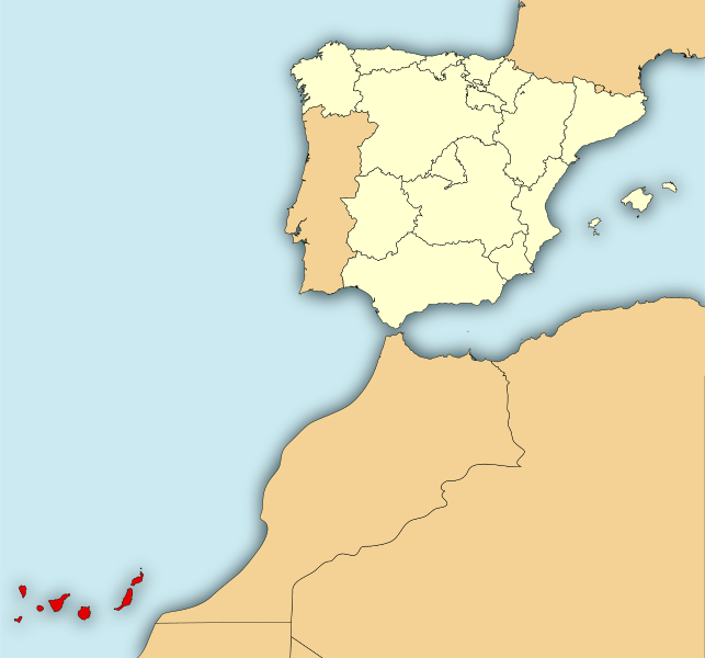
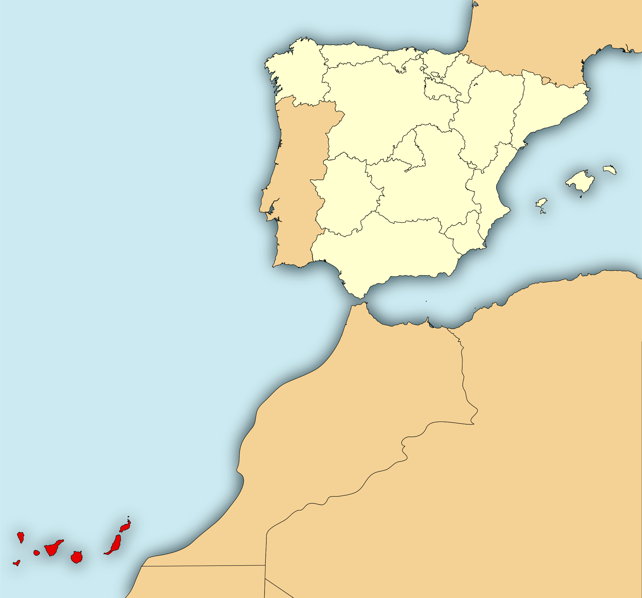
English: Map of Spain with the Canary Islands highlighted.
Español: Localización de قالب:We respecto a España.
|
| ⧼wm-license-information-date⧽ | 2010 |
| ⧼wm-license-information-source⧽ | قالب:Own based |
| ⧼wm-license-information-author⧽ | Mircalla22 |
ترخيص
|
|
هذا الملفُّ مُرخَّص بموجب رخصة المشاع الإبداعي نسبة المُصنَّف إِلى مؤلفه - المشاركة بالمثل 3.0 العامة. |
قالب:Original upload log
This image is a derivative work of the following images:
- قالب:F licensed with Cc-by-sa-3.0,2.5,2.0,1.0, GFDL
- 2009-07-06T10:57:38Z Rastrojo 690x522 (575429 Bytes) nueva versión
- 2008-04-02T18:46:22Z Paintman 578x374 (417181 Bytes) Color verde y por comunidades autónomas.
- 2008-01-07T19:21:27Z Rastrojo 578x374 (622409 Bytes) {{Information |Description= Localización de la [[w:es:Región de Murcia|Región de Murcia]] respecto a España |Source= [[:Image:Provincias de España centrado.svg]] |Date= |Author= [[w:es:User:Rastrojo|Rastrojo]] |Permissio
- قالب:F licensed with Cc-by-3.0
- 2009-08-24T17:41:25Z Corso 444x484 (321474 Bytes)
- 2009-08-23T20:09:48Z Corso 444x484 (311342 Bytes)
- 2009-08-23T20:05:06Z Corso 498x484 (311622 Bytes)
- 2009-08-23T20:00:08Z Corso 744x1052 (311835 Bytes) {{Information |Description={{en|1=Map of the merchant ship travel "Arctic Sea" during the incident occurred between July and August 2009.}} {{es|1=Mapa del viaje del buque mercante "Arctic Sea" durante el incidente ocurrido e
تاريخ الملف
اضغط على زمن/تاريخ لرؤية الملف كما بدا في هذا الزمن.
| زمن/تاريخ | صورة مصغرة | الأبعاد | مستخدم | تعليق | |
|---|---|---|---|---|---|
| حالي | ★ مراجعة معتمدة 08:42، 14 نوفمبر 2023 | | 799 × 745 (638 كيلوبايت) | Pastakhov (نقاش | مساهمات) | Upload https://upload.wikimedia.org/wikipedia/commons/5/5c/Localizaci%C3%B3n_de_la_Regi%C3%B3n_de_Canarias.svg |
لا يمكنك استبدال هذا الملف.
وصلات
لا يوجد صفحات تصل لهذه الصورة.