ملف:Landscape of Canterbury Region 05.jpg
حجم هذه المعاينة: 799 × 246 بكسل. البعد الآخر: 3٬007 × 926 بكسل.
الملف الأصلي (3٬007 × 926 بكسل حجم الملف: 2٫52 ميجابايت، نوع MIME: image/jpeg)
وصف قصير
| ⧼wm-license-information-description⧽ |
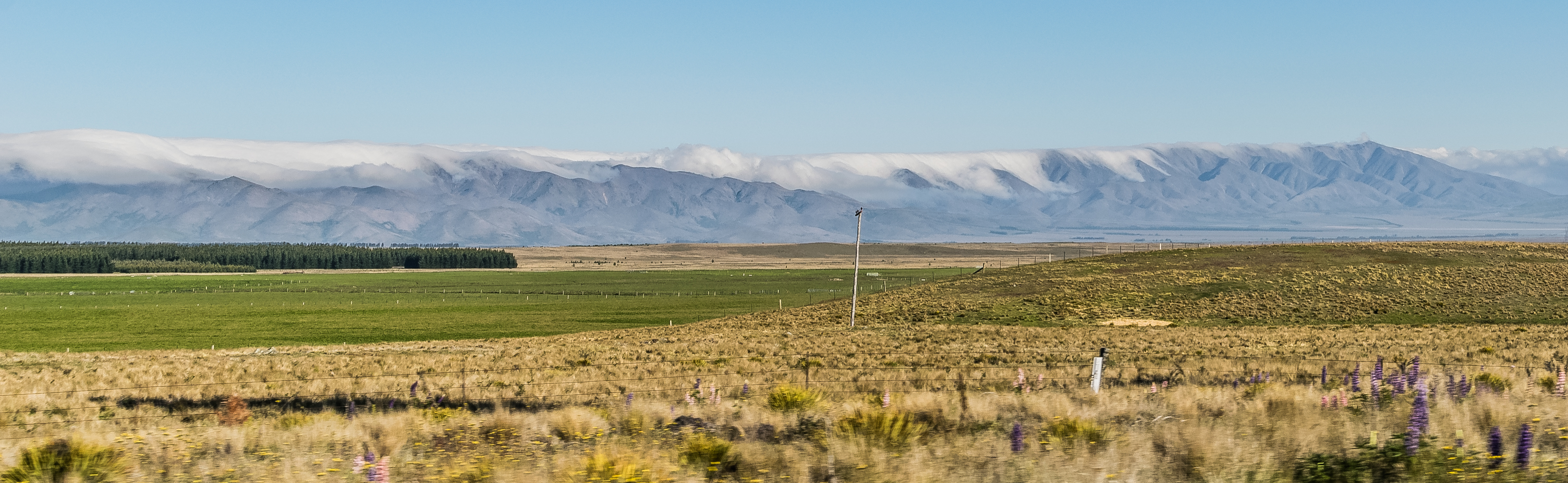
English: Landscape of Canterbury Region (plain between Lake Tekapo and Lake Pukaki), South Island of New Zealand
|
| ⧼wm-license-information-date⧽ | 2017, {{time}} – invalid date format 43 (help) |
| ⧼wm-license-information-source⧽ | ⧼Wm-license-own-work⧽ |
| ⧼wm-license-information-author⧽ | Krzysztof Golik |
44°02′50″S 170°22′38″E / 44.047098°S 170.377214°E
ترخيص
|
تاريخ الملف
اضغط على زمن/تاريخ لرؤية الملف كما بدا في هذا الزمن.
| زمن/تاريخ | صورة مصغرة | الأبعاد | مستخدم | تعليق | |
|---|---|---|---|---|---|
| حالي | ★ مراجعة معتمدة 19:05، 26 ديسمبر 2023 | 3٬007 × 926 (2٫52 ميجابايت) | Pastakhov (نقاش | مساهمات) | Upload https://upload.wikimedia.org/wikipedia/commons/d/d2/Landscape_of_Canterbury_Region_05.jpg |
لا يمكنك استبدال هذا الملف.
وصلات
لا يوجد صفحات تصل لهذه الصورة.