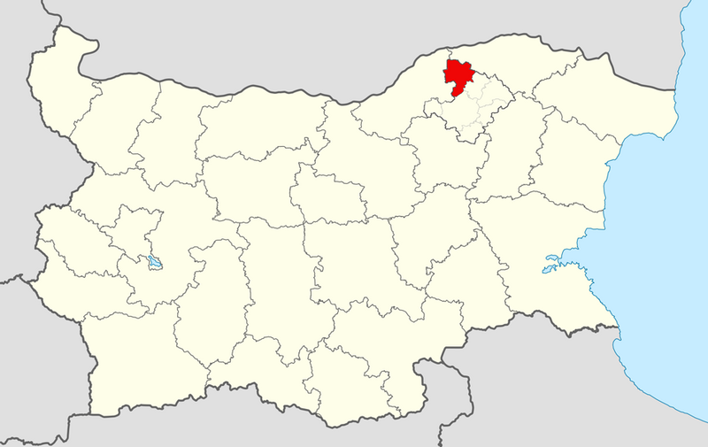
ملف:Kubrat Municipality Within Bulgaria.png

حجم هذه المعاينة: 800 × 505 بكسل.
الملف الأصلي (951 × 600 بكسل حجم الملف: 166 كيلوبايت، نوع MIME: image/png)
| ⧼wm-license-information-description⧽ |
Equirectangular projection, N/S stretching 130 %. Geographic limits of the map:
|
| ⧼wm-license-information-date⧽ | 2011-02-16 09:04 (UTC) |
| ⧼wm-license-information-source⧽ | |
| ⧼wm-license-information-author⧽ |
|
| [This is a retouched picture, which means that it has been digitally altered from its original version. Modifications: Kubrat Municipality outlined. The original can be viewed here: Bulgaria_location_map.svg. Modifications made by MrPanyGoff.] Error: {{Lang}}: text has italic markup (help)
|
|

قالب:Original upload log
This image is a derivative work of the following images:
- File:Bulgaria_location_map.svg licensed with Cc-by-sa-3.0, GFDL
- 2010-10-06T18:28:14Z NordNordWest 1642x1036 (282074 Bytes) upd
- 2009-08-12T18:23:52Z Пакко 1536x970 (209136 Bytes) fixed Iskar Lake
- 2009-08-03T18:12:56Z Пакко 1534x967 (211583 Bytes) fixed some borders according to current administrative division
- 2008-08-25T18:52:33Z NordNordWest 1645x1038 (304442 Bytes) size correction
- 2008-08-12T12:25:58Z NordNordWest 548x346 (298143 Bytes) corrected
- 2008-08-05T20:30:09Z NordNordWest 548x346 (296113 Bytes) {{Information |Description= {{de|Positionskarte von [[:de:Bulgarien|Bulgarien]]}} Quadratische Plattkarte, N-S-Streckung 130 %. Geographische Begrenzung der Karte: * N: 44.4° N * S: 41.1° N * W: 22.1° O * O: 28.9° O {{en|
تاريخ الملف
اضغط على زمن/تاريخ لرؤية الملف كما بدا في هذا الزمن.
| زمن/تاريخ | صورة مصغرة | الأبعاد | مستخدم | تعليق | |
|---|---|---|---|---|---|
| حالي | ★ مراجعة معتمدة 16:41، 10 نوفمبر 2023 | | 951 × 600 (166 كيلوبايت) | Pastakhov (نقاش | مساهمات) | Upload https://upload.wikimedia.org/wikipedia/commons/1/16/Kubrat_Municipality_Within_Bulgaria.png |
لا يمكنك استبدال هذا الملف.
وصلات
لا يوجد صفحات تصل لهذه الصورة.