ملف:Krumbach Dorfzentrum Schrägluftbild.jpg

حجم هذه المعاينة: 800 × 534 بكسل. البعدان الآخران: 2٬560 × 1٬708 بكسل | 6٬000 × 4٬002 بكسل.
الملف الأصلي (6٬000 × 4٬002 بكسل حجم الملف: 28٫55 ميجابايت، نوع MIME: image/jpeg)
وصف قصير
| ⧼wm-license-information-description⧽ |
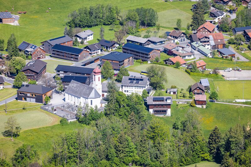
Deutsch: Luftbild vom Dorfzentrum von der Gemeinde Krumbach mit Pfarrkirche, Friedhof und umliegenden Häusern.
|
| ⧼wm-license-information-date⧽ | 2021, 8:13 am UTC+10:00 [refresh] |
| ⧼wm-license-information-source⧽ | ⧼Wm-license-own-work⧽ |
| ⧼wm-license-information-author⧽ | Herbert Heim |
47°28′40″N 9°56′52″E / 47.47768°N 9.947868°E
ترخيص
|
تاريخ الملف
اضغط على زمن/تاريخ لرؤية الملف كما بدا في هذا الزمن.
| زمن/تاريخ | صورة مصغرة | الأبعاد | مستخدم | تعليق | |
|---|---|---|---|---|---|
| حالي | ★ مراجعة معتمدة 00:29، 3 ديسمبر 2023 | | 6٬000 × 4٬002 (28٫55 ميجابايت) | Pastakhov (نقاش | مساهمات) | Upload https://upload.wikimedia.org/wikipedia/commons/8/86/Krumbach_Dorfzentrum_Schr%C3%A4gluftbild.jpg |
لا يمكنك استبدال هذا الملف.
وصلات
لا يوجد صفحات تصل لهذه الصورة.