ملف:Killantringan Bay.jpg
لا توجد دقة أعلى متوفرة.
Killantringan_Bay.jpg (640 × 480 بكسل حجم الملف: 97 كيلوبايت، نوع MIME: image/jpeg)
وصف قصير
| ⧼wm-license-information-description⧽ |
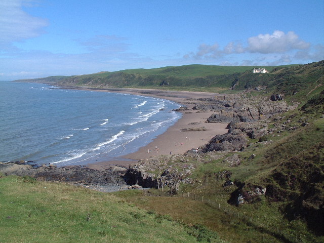
English: Killantringan Bay, Wigtonshire.
Seen from the Southern Upland Way heading North from Portpatrick.
|
| ⧼wm-license-information-date⧽ | 2002 |
| ⧼wm-license-information-source⧽ | From geograph.org.uk |
| ⧼wm-license-information-author⧽ | Uncredited |
| ⧼wm-license-information-permission⧽ (⧼wm-license-information-permission-reusing-text⧽) |
Creative Commons Attribution Share-alike license 2.0 |
54°51′53″N 5°08′43″W / 54.86459°N 5.1454°W قالب:Object location
_region:GB-GBN_heading:0)
ترخيص
تاريخ الملف
اضغط على زمن/تاريخ لرؤية الملف كما بدا في هذا الزمن.
| زمن/تاريخ | صورة مصغرة | الأبعاد | مستخدم | تعليق | |
|---|---|---|---|---|---|
| حالي | ★ مراجعة معتمدة 08:07، 14 نوفمبر 2023 | | 640 × 480 (97 كيلوبايت) | Pastakhov (نقاش | مساهمات) | Upload https://upload.wikimedia.org/wikipedia/commons/a/a1/Killantringan_Bay.jpg |
لا يمكنك استبدال هذا الملف.
وصلات
لا يوجد صفحات تصل لهذه الصورة.