ملف:Kew Road, Kew, Surrey - geograph.org.uk - 578996.jpg
لا توجد دقة أعلى متوفرة.
Kew_Road,_Kew,_Surrey_-_geograph.org.uk_-_578996.jpg (640 × 480 بكسل حجم الملف: 132 كيلوبايت، نوع MIME: image/jpeg)
وصف قصير
| ⧼wm-license-information-description⧽ |
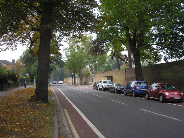
English: Kew Road, Kew, Surrey Looking south from the junction with Broomfield Road. As appropriate for a road which runs alongside the Royal Botanic Gardens, there are some fine trees along here, with specimen planes and horse-chestnut. The road here is part of the A307. There is an excellent frequent bus service along here, with Route 65 from Kingston to Ealing Broadway the most important service.
|
| ⧼wm-license-information-date⧽ | 2007 |
| ⧼wm-license-information-source⧽ | From geograph.org.uk |
| ⧼wm-license-information-author⧽ | Dr Neil Clifton |
| ⧼wm-license-cc-attribution⧽ (قالب:I18n/Credit line) |
Dr Neil Clifton / Kew Road, Kew, Surrey / |
51°28′40″N 0°17′24″W / 51.47791°N 0.2901°W قالب:Object location
_heading:202)
ترخيص
تاريخ الملف
اضغط على زمن/تاريخ لرؤية الملف كما بدا في هذا الزمن.
| زمن/تاريخ | صورة مصغرة | الأبعاد | مستخدم | تعليق | |
|---|---|---|---|---|---|
| حالي | ★ مراجعة معتمدة 06:16، 22 أكتوبر 2023 | | 640 × 480 (132 كيلوبايت) | Pastakhov (نقاش | مساهمات) | Upload https://upload.wikimedia.org/wikipedia/commons/2/2e/Kew_Road%2C_Kew%2C_Surrey_-_geograph.org.uk_-_578996.jpg |
لا يمكنك استبدال هذا الملف.
وصلات
لا يوجد صفحات تصل لهذه الصورة.