ملف:KentTestonBridge0628c.JPG
حجم هذه المعاينة: 744 × 599 بكسل. البعد الآخر: 1٬759 × 1٬417 بكسل.
الملف الأصلي (1٬759 × 1٬417 بكسل حجم الملف: 332 كيلوبايت، نوع MIME: image/jpeg)
وصف قصير
| ⧼wm-license-information-description⧽ |
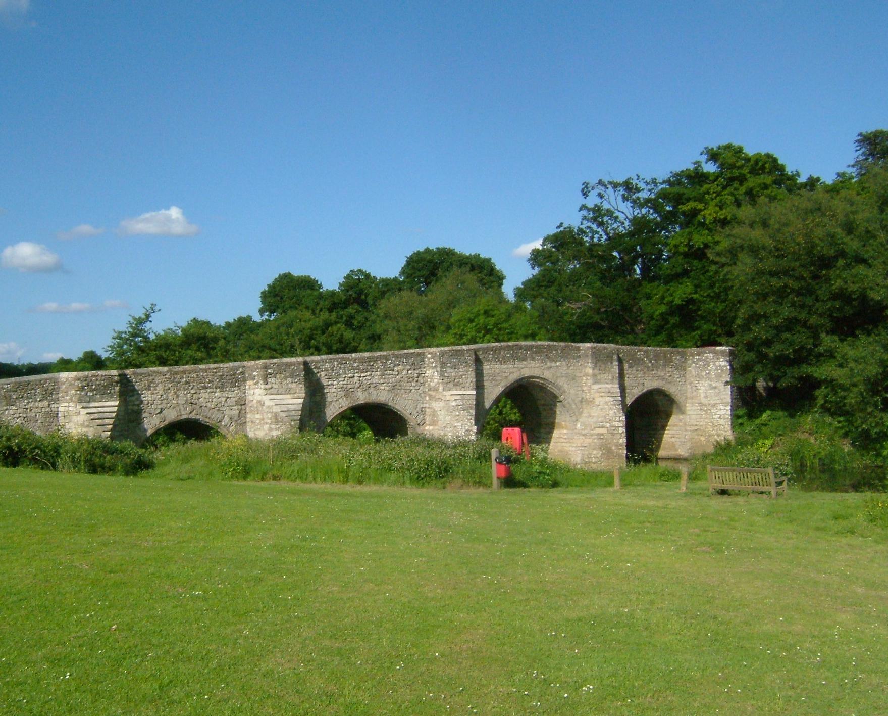
Teston Bridge on the River Medway between Teston and Tutshall,West Farleigh in Kent.Taken from the west bank, from the Teston Bridge Picnic Site. The water is +5.41m above mean sea level. 10km above Allington. The bridge is mediaeval in origin but widened for river traffic in 1749, it is a scheduled ancient monument.قالب:Location dec |
| ⧼wm-license-information-date⧽ | 2007 |
| ⧼wm-license-information-source⧽ | ⧼Wm-license-own-work⧽ |
| ⧼wm-license-information-author⧽ | Clem Rutter, Rochester, Kent. |
ترخيص
قالب:Cc-by-sa-3.0-migrated |

تاريخ الملف
اضغط على زمن/تاريخ لرؤية الملف كما بدا في هذا الزمن.
| زمن/تاريخ | صورة مصغرة | الأبعاد | مستخدم | تعليق | |
|---|---|---|---|---|---|
| حالي | ★ مراجعة معتمدة 05:43، 31 أكتوبر 2023 | | 1٬759 × 1٬417 (332 كيلوبايت) | Pastakhov (نقاش | مساهمات) | Upload https://upload.wikimedia.org/wikipedia/commons/9/93/KentTestonBridge0628c.JPG |
لا يمكنك استبدال هذا الملف.
وصلات
لا يوجد صفحات تصل لهذه الصورة.