ملف:Kempten-Sankt Lorenz-Kargen-Umgebung Urpositionsblatt.PNG
حجم هذه المعاينة: 800 × 462 بكسل. البعد الآخر: 1٬438 × 830 بكسل.
الملف الأصلي (1٬438 × 830 بكسل حجم الملف: 3٫29 ميجابايت، نوع MIME: image/png)
وصف قصير
| ⧼wm-license-information-description⧽ |
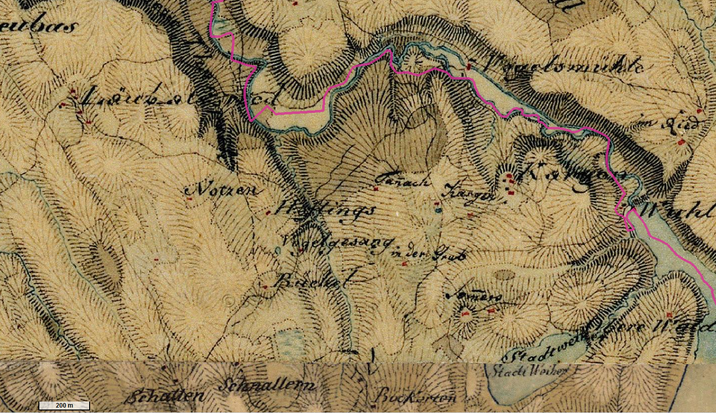
Deutsch: Historische Karte im Nordosten der früheren Gemeinde St. Mang, heute Kempten, Allgäu, Bayern
Urpositionsblatt 775 Börwang von 1823
|
| ⧼wm-license-information-date⧽ | 1823 |
| ⧼wm-license-information-source⧽ | http://geoportal.bayern.de/bayernatlas/extended?lon=4376659.0&lat=5292619.5&zoom=11&base=952 |
| ⧼wm-license-information-author⧽ | Königlich Bayerisches Vermessungsamt? |
ترخيص
|
|
This file is in the ملكية عامة because its copyright has expired in the United States and those countries with a copyright term of no more than the life of the author plus 100 years.
|
تاريخ الملف
اضغط على زمن/تاريخ لرؤية الملف كما بدا في هذا الزمن.
| زمن/تاريخ | صورة مصغرة | الأبعاد | مستخدم | تعليق | |
|---|---|---|---|---|---|
| حالي | ★ مراجعة معتمدة 19:28، 30 نوفمبر 2023 | | 1٬438 × 830 (3٫29 ميجابايت) | Pastakhov (نقاش | مساهمات) | Upload https://upload.wikimedia.org/wikipedia/commons/0/09/Kempten-Sankt_Lorenz-Kargen-Umgebung_Urpositionsblatt.PNG |
لا يمكنك استبدال هذا الملف.
وصلات
لا يوجد صفحات تصل لهذه الصورة.