ملف:Kastell Walldürn - Gelände 2022.jpg
حجم هذه المعاينة: 800 × 450 بكسل. البعدان الآخران: 2٬560 × 1٬440 بكسل | 3٬840 × 2٬160 بكسل.
الملف الأصلي (3٬840 × 2٬160 بكسل حجم الملف: 4٫37 ميجابايت، نوع MIME: image/jpeg)
وصف قصير
| ⧼wm-license-information-description⧽ |
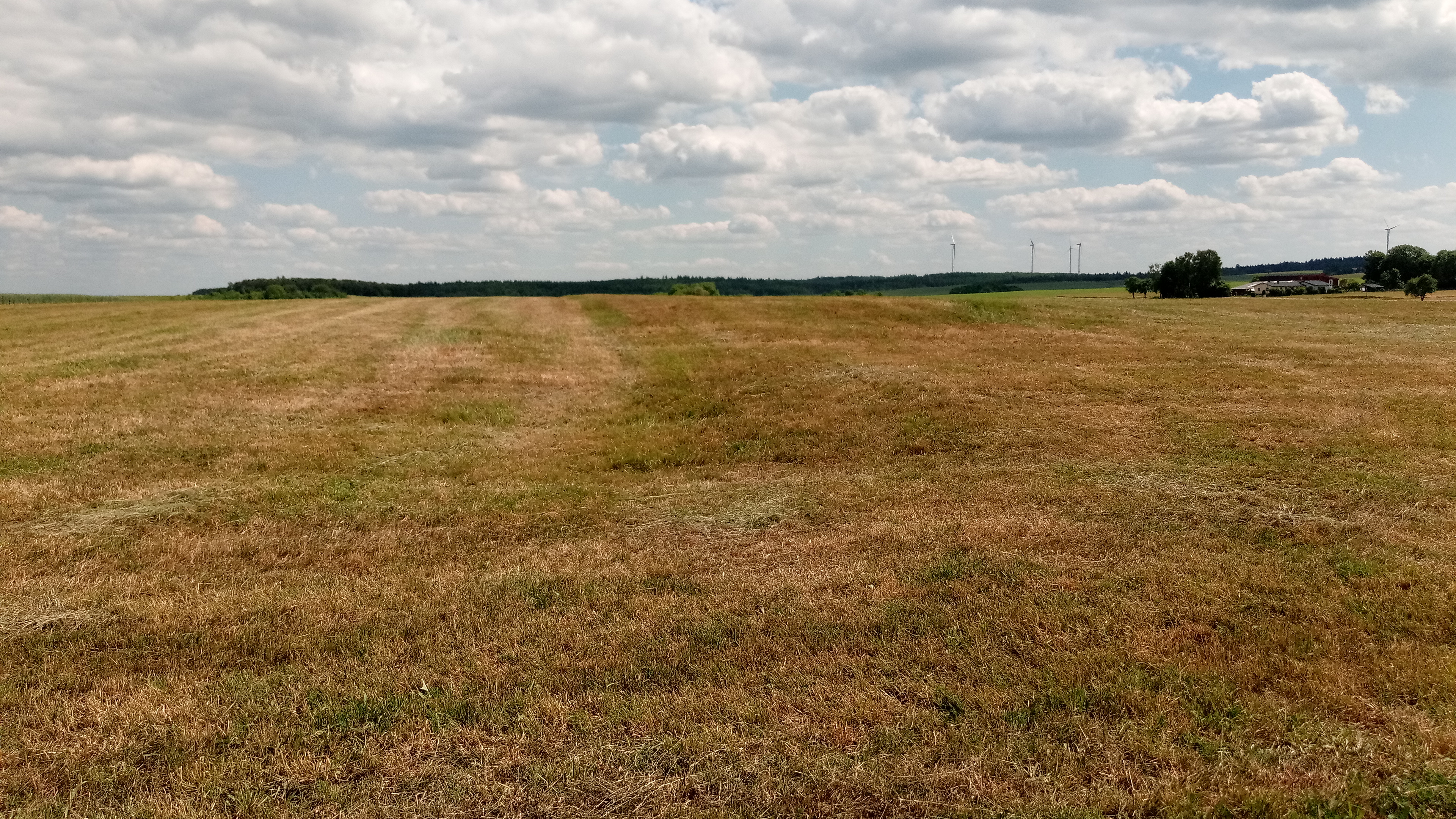
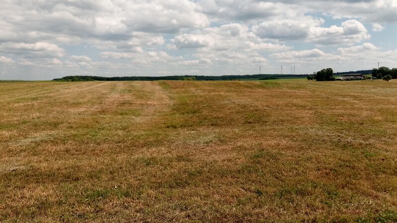
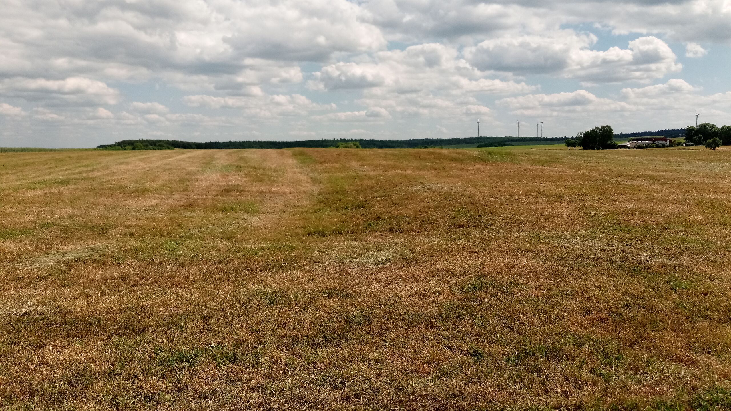
Deutsch: Kastell Walldürn (Numeruskastell bei Walldürn), durch den Umstand, dass die Wiese unter der sich das Kastell befand frisch gemäht wurde, erkennt man an den Bodenformen dessen ehemalige Ausdehnung
|
| ⧼wm-license-information-date⧽ | 2022 (according to Exif data) |
| ⧼wm-license-information-source⧽ | ⧼Wm-license-own-work⧽ |
| ⧼wm-license-information-author⧽ | Granpar |
49°34′45″N 9°23′13″E / 49.57911680555556°N 9.38692186111111°E
ترخيص
تاريخ الملف
اضغط على زمن/تاريخ لرؤية الملف كما بدا في هذا الزمن.
| زمن/تاريخ | صورة مصغرة | الأبعاد | مستخدم | تعليق | |
|---|---|---|---|---|---|
| حالي | ★ مراجعة معتمدة 18:42، 30 نوفمبر 2023 | | 3٬840 × 2٬160 (4٫37 ميجابايت) | Pastakhov (نقاش | مساهمات) | Upload https://upload.wikimedia.org/wikipedia/commons/2/2b/Kastell_Walld%C3%BCrn_-_Gel%C3%A4nde_2022.jpg |
لا يمكنك استبدال هذا الملف.
وصلات
لا يوجد صفحات تصل لهذه الصورة.