ملف:Karte-Eschhofen-in-Limburg.png
حجم هذه المعاينة: 752 × 600 بكسل. البعد الآخر: 1٬600 × 1٬276 بكسل.
الملف الأصلي (1٬600 × 1٬276 بكسل حجم الملف: 351 كيلوبايت، نوع MIME: image/png)
| ⧼wm-license-information-description⧽ |
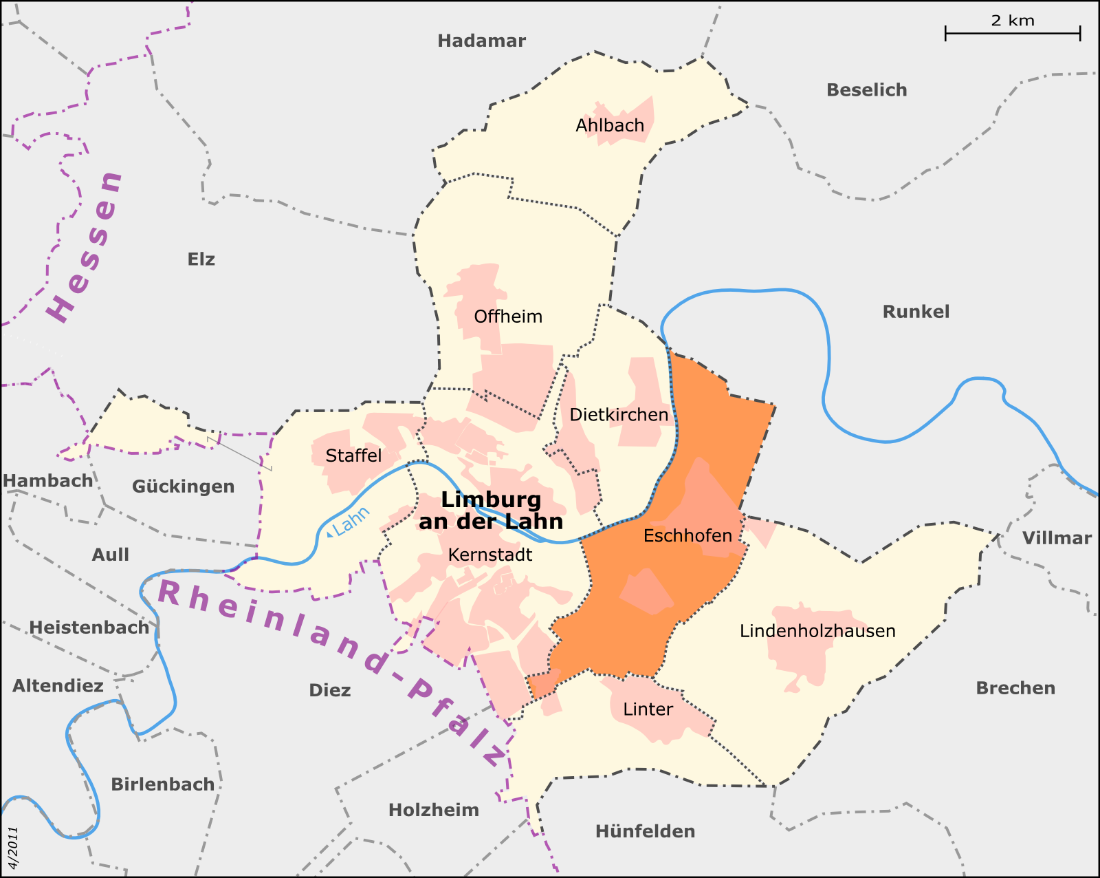
English: Map of Limburg an der Lahn's city districts: Eschhofen Deutsch: Karte der Limburger Stadtteile: Eschhofen
This map was created from OpenStreetMap project data, collected by the community. |
||
| ⧼wm-license-information-date⧽ | تاريخ غير معروف | ||
| ⧼wm-license-information-source⧽ | Deutsch: Eigene Arbeit, basierend auf English: Own work, based on
|
||
| ⧼wm-license-information-author⧽ | Muns | ||
| ⧼wm-license-information-permission⧽ (⧼wm-license-information-permission-reusing-text⧽) |
OpenStreetMap data and maps are Creative Commons "CC-BY-SA 2.0" licensed |
||
| ⧼wm-license-information-other-versions⧽ |
ملف:Karte-Limburg-Stadtteile.png Limburg mit Stadtteilen |
تاريخ الملف
اضغط على زمن/تاريخ لرؤية الملف كما بدا في هذا الزمن.
| زمن/تاريخ | صورة مصغرة | الأبعاد | مستخدم | تعليق | |
|---|---|---|---|---|---|
| حالي | ★ مراجعة معتمدة 11:59، 25 نوفمبر 2023 | | 1٬600 × 1٬276 (351 كيلوبايت) | Pastakhov (نقاش | مساهمات) | Upload https://upload.wikimedia.org/wikipedia/commons/f/f1/Karte-Eschhofen-in-Limburg.png |
لا يمكنك استبدال هذا الملف.
وصلات
لا يوجد صفحات تصل لهذه الصورة.