ملف:Karnobat Municipality Within Bulgaria.png
حجم هذه المعاينة: 800 × 505 بكسل.
الملف الأصلي (951 × 600 بكسل حجم الملف: 181 كيلوبايت، نوع MIME: image/png)
وصف قصير
| ⧼wm-license-information-description⧽ |
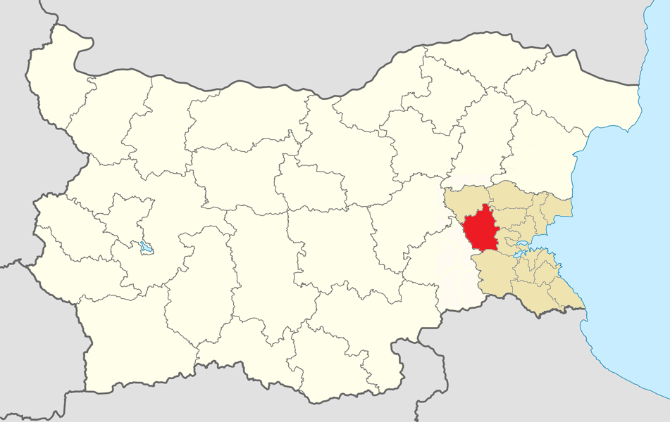
English: Location map of Karnobat Municipality within Bulgaria and Burgas Province
Equirectangular projection, N/S stretching 130 %. Geographic limits of the map: N: 44.4° N S: 41.1° N W: 22.1° E E: 28.9° E |
| ⧼wm-license-information-date⧽ | 2016 |
| ⧼wm-license-information-source⧽ | ⧼Wm-license-own-work⧽ |
| ⧼wm-license-information-author⧽ | Herigona |
ترخيص
|
تاريخ الملف
اضغط على زمن/تاريخ لرؤية الملف كما بدا في هذا الزمن.
| زمن/تاريخ | صورة مصغرة | الأبعاد | مستخدم | تعليق | |
|---|---|---|---|---|---|
| حالي | ★ مراجعة معتمدة 23:05، 11 نوفمبر 2023 | | 951 × 600 (181 كيلوبايت) | Pastakhov (نقاش | مساهمات) | Upload https://upload.wikimedia.org/wikipedia/commons/b/bb/Karnobat_Municipality_Within_Bulgaria.png |
لا يمكنك استبدال هذا الملف.
وصلات
لا يوجد صفحات تصل لهذه الصورة.