ملف:Island of Ireland location map Carlow.svg

حجم معاينة PNG لذلك الملف ذي الامتداد SVG: 481 × 599 بكسل. البعد الآخر: 1٬643 × 2٬048 بكسل.
الملف الأصلي (ملف SVG، أبعاده 1٬450 × 1٬807 بكسل، حجم الملف: 642 كيلوبايت)
قالب:Igen
| ⧼wm-license-information-description⧽ |
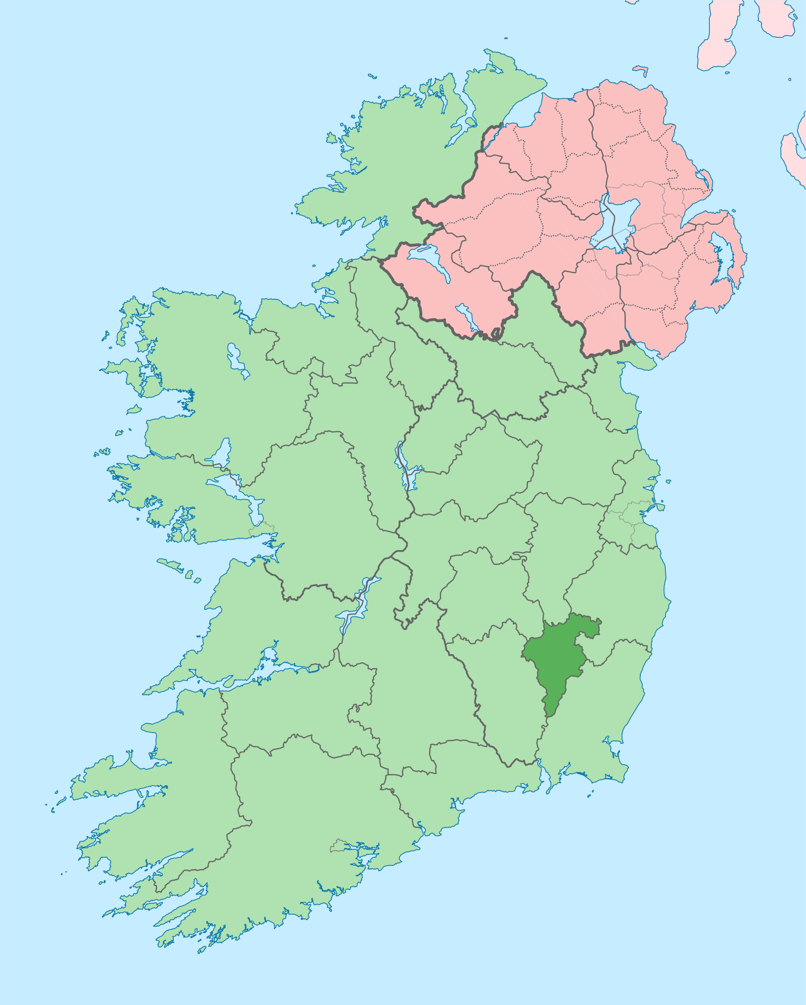
English: The island of Ireland, showing international border between Ireland and Northern Ireland, traditional provinces, traditional counties, and local authority areas in Ireland and Northern Ireland.
|
| ⧼wm-license-information-date⧽ | 2010-07-19 00:35 (UTC) |
| ⧼wm-license-information-source⧽ | |
| ⧼wm-license-information-author⧽ |
|
|
قالب:Original upload log
This image is a derivative work of the following images:
- قالب:F licensed with Cc-by-sa-3.0
- 2010-03-06T20:43:33Z Rannpháirtí anaithnid 1450x1807 (679207 Bytes) Fix incorrectly coloured isands.
- 2010-03-03T22:19:29Z Rannpháirtí anaithnid 1450x1807 (679744 Bytes) {{Information |Description={{de|Positionskarte von [[:de:Irland|Irland]]}} Quadratische Plattkarte, N-S-Streckung 170 %. Geographische Begrenzung der Karte: * N: 55.6° N * S: 51.2° N * W: 11.0° W * O: 5.0° W {{en|Location
تاريخ الملف
اضغط على زمن/تاريخ لرؤية الملف كما بدا في هذا الزمن.
| زمن/تاريخ | صورة مصغرة | الأبعاد | مستخدم | تعليق | |
|---|---|---|---|---|---|
| حالي | ★ مراجعة معتمدة 08:35، 5 نوفمبر 2023 | | 1٬450 × 1٬807 (642 كيلوبايت) | Pastakhov (نقاش | مساهمات) | Upload https://upload.wikimedia.org/wikipedia/commons/5/5c/Island_of_Ireland_location_map_Carlow.svg |
لا يمكنك استبدال هذا الملف.
وصلات
لا يوجد صفحات تصل لهذه الصورة.