ملف:Ireland United Kingdom Locator.png

حجم هذه المعاينة: 656 × 600 بكسل. البعد الآخر: 1٬270 × 1٬161 بكسل.
الملف الأصلي (1٬270 × 1٬161 بكسل حجم الملف: 95 كيلوبايت، نوع MIME: image/png)
وصف قصير
| ⧼wm-license-information-description⧽ |
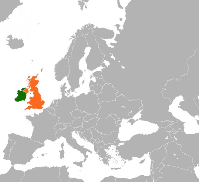
English: Map of Europe indicating the United Kingdom and Republic of Ireland.
|
| ⧼wm-license-information-date⧽ | 2007 |
| ⧼wm-license-information-source⧽ | ⧼Wm-license-own-work⧽ Based on File:BlankMap-World-v5.png |
| ⧼wm-license-information-author⧽ | Dancingwombatsrule |
ترخيص
قالب:GFDL-user-en-no-disclaimers
قالب:Original upload log
قالب:Original description page
- 2011-03-19 13:15 Rannpháirtí anaithnid 450×422× (15027 bytes) Reverted to version as of 10:54, 29 August 2010
- 2011-03-13 20:23 Gavin Lisburn 450×422× (11617 bytes) Reverted to version as of 10:50, 29 August 2010
- 2011-03-13 20:22 Gavin Lisburn 450×422× (11617 bytes) Reverted to version as of 10:50, 29 August 2010; pink is the usual colour in maps & atlases to represent the UK, Dominions etc.
- 2010-08-29 10:54 Mabuska 450×422× (15027 bytes) Reverted to version as of 17:47, 21 November 2007 - turns out world-wide standard colours
- 2010-08-29 10:50 Mabuska 450×422× (11617 bytes) Recoloured Ireland and the United Kingdom to match the newer Ireland county maps better, which also have more neutral and less strong colours
- 2007-11-21 17:47 Dancingwombatsrule 450×422× (15027 bytes) '''Description:''' Map of the world indicating the United Kingdom and Republic of Ireland. For use in [[Anglo-Irish relations]] and similar articles. '''Source:''' Own work based on Image:BlankMap-World-v5.png '''Date:''' 19th July 2007 '''Author:''' [
تاريخ الملف
اضغط على زمن/تاريخ لرؤية الملف كما بدا في هذا الزمن.
| زمن/تاريخ | صورة مصغرة | الأبعاد | مستخدم | تعليق | |
|---|---|---|---|---|---|
| حالي | ★ مراجعة معتمدة 10:11، 12 نوفمبر 2023 | | 1٬270 × 1٬161 (95 كيلوبايت) | Pastakhov (نقاش | مساهمات) | Upload https://upload.wikimedia.org/wikipedia/commons/a/a8/Ireland_United_Kingdom_Locator.png |
لا يمكنك استبدال هذا الملف.
وصلات
لا يوجد صفحات تصل لهذه الصورة.