ملف:Institute of Remote Sensing and Digital Earth, CAS (20190926104502).jpg
حجم هذه المعاينة: 800 × 533 بكسل. البعدان الآخران: 2٬560 × 1٬707 بكسل | 3٬954 × 2٬636 بكسل.
الملف الأصلي (3٬954 × 2٬636 بكسل حجم الملف: 5٫81 ميجابايت، نوع MIME: image/jpeg)
وصف قصير
| ⧼wm-license-information-description⧽ |
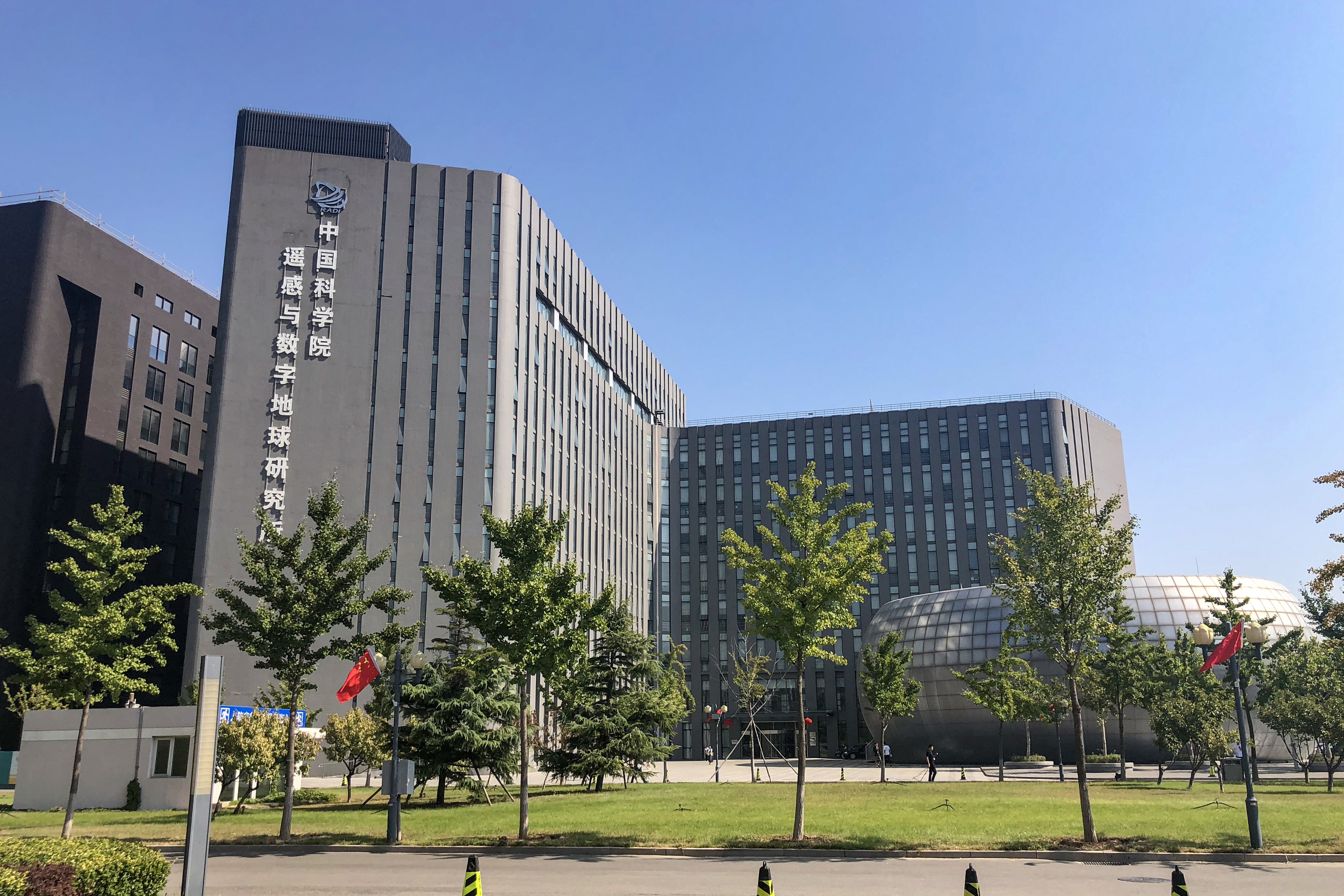
English: RADI is now part of AIRCAS.
|
| ⧼wm-license-information-date⧽ | 2019, {{time}} – invalid date format 45 (help) |
| ⧼wm-license-information-source⧽ | ⧼Wm-license-own-work⧽ |
| ⧼wm-license-information-author⧽ | N509FZ |
40°04′13″N 116°16′31″E / 40.070228°N 116.275208°E
.jpg¶ms=40.070228_N_116.275208_E_heading:49.76998904709748)
ترخيص
|
تاريخ الملف
اضغط على زمن/تاريخ لرؤية الملف كما بدا في هذا الزمن.
| زمن/تاريخ | صورة مصغرة | الأبعاد | مستخدم | تعليق | |
|---|---|---|---|---|---|
| حالي | ★ مراجعة معتمدة 06:29، 14 نوفمبر 2023 | | 3٬954 × 2٬636 (5٫81 ميجابايت) | Pastakhov (نقاش | مساهمات) | Upload https://upload.wikimedia.org/wikipedia/commons/e/e5/Institute_of_Remote_Sensing_and_Digital_Earth%2C_CAS_%2820190926104502%29.jpg |
لا يمكنك استبدال هذا الملف.
وصلات
لا يوجد صفحات تصل لهذه الصورة.
.jpg&oldid=3519903)