ملف:Indre-et-Loire - Canton Monts 2015.svg

حجم معاينة PNG لذلك الملف ذي الامتداد SVG: 548 × 600 بكسل. البعد الآخر: 1٬871 × 2٬048 بكسل.
الملف الأصلي (ملف SVG، أبعاده 614 × 672 بكسل، حجم الملف: 329 كيلوبايت)
وصف قصير
| ⧼wm-license-information-description⧽ |
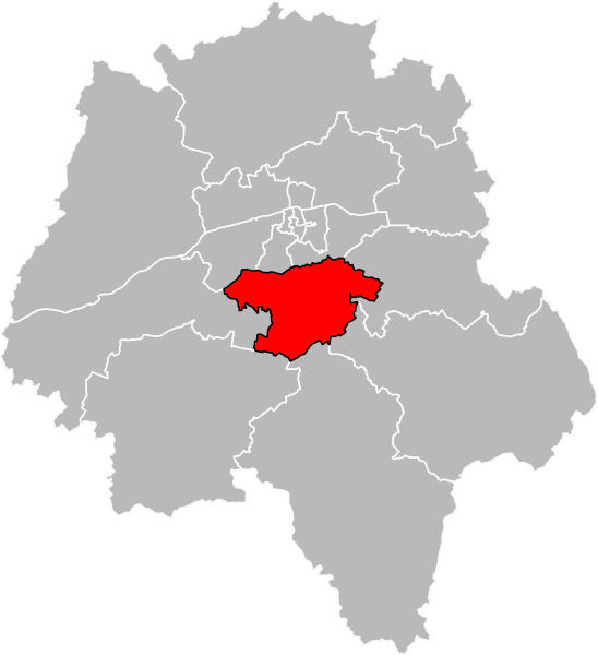
Français : Carte de localisation du canton de Monts en Indre-et-Loire, redécoupage de 2014.
|
| ⧼wm-license-information-date⧽ | 2016 |
| ⧼wm-license-information-source⧽ | ⧼Wm-license-own-work⧽ |
| ⧼wm-license-information-author⧽ | Pymouss |
ترخيص
|
تاريخ الملف
اضغط على زمن/تاريخ لرؤية الملف كما بدا في هذا الزمن.
| زمن/تاريخ | صورة مصغرة | الأبعاد | مستخدم | تعليق | |
|---|---|---|---|---|---|
| حالي | ★ مراجعة معتمدة 12:12، 23 نوفمبر 2023 | | 614 × 672 (329 كيلوبايت) | Pastakhov (نقاش | مساهمات) | Upload https://upload.wikimedia.org/wikipedia/commons/3/39/Indre-et-Loire_-_Canton_Monts_2015.svg |
لا يمكنك استبدال هذا الملف.
وصلات
لا يوجد صفحات تصل لهذه الصورة.