ملف:ISS-39 Galveston Island.jpg
حجم هذه المعاينة: 800 × 532 بكسل. البعدان الآخران: 2٬560 × 1٬703 بكسل | 4٬256 × 2٬832 بكسل.
الملف الأصلي (4٬256 × 2٬832 بكسل حجم الملف: 2٫78 ميجابايت، نوع MIME: image/jpeg)
وصف قصير
| ⧼wm-license-information-description⧽ |
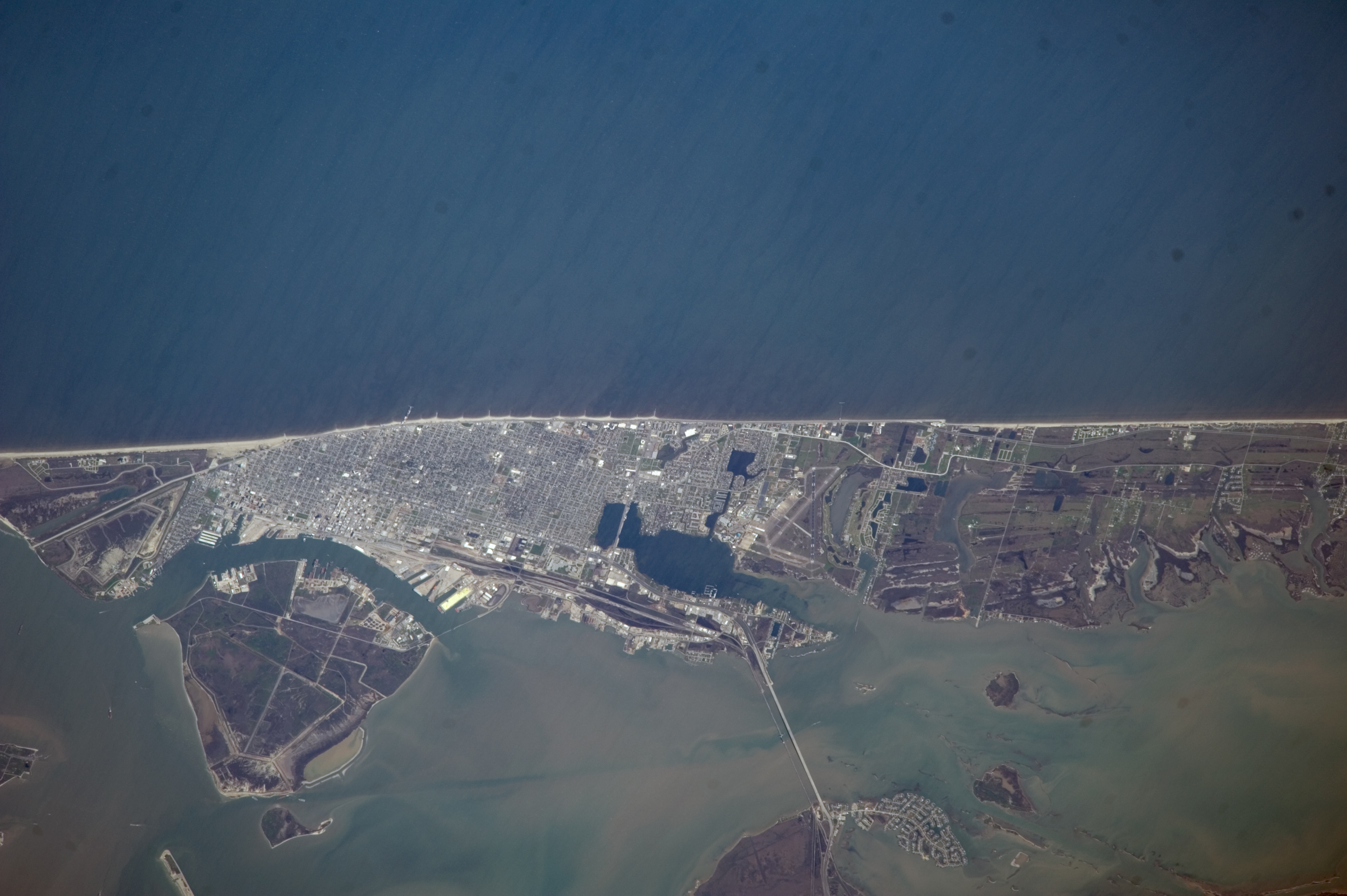
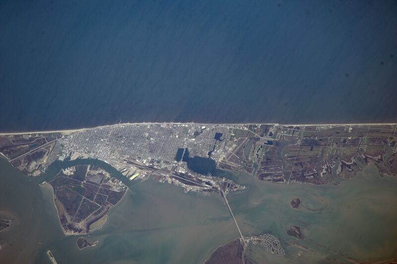
English: This nadir picture of Galveston Island and its coastline on the Gulf of Mexico was taken by one of the Expedition 39 crew members aboard the International Space Station on March 12.
|
| ⧼wm-license-information-date⧽ | 2014 |
| ⧼wm-license-information-source⧽ | https://www.flickr.com/photos/nasa2explore/13134466323/ |
| ⧼wm-license-information-author⧽ | NASA |
ترخيص
تاريخ الملف
اضغط على زمن/تاريخ لرؤية الملف كما بدا في هذا الزمن.
| زمن/تاريخ | صورة مصغرة | الأبعاد | مستخدم | تعليق | |
|---|---|---|---|---|---|
| حالي | ★ مراجعة معتمدة 07:11، 4 ديسمبر 2023 | | 4٬256 × 2٬832 (2٫78 ميجابايت) | Pastakhov (نقاش | مساهمات) | Upload https://upload.wikimedia.org/wikipedia/commons/e/ee/ISS-39_Galveston_Island.jpg |
لا يمكنك استبدال هذا الملف.
وصلات
لا يوجد صفحات تصل لهذه الصورة.