ملف:Hotwells Bristol UK.jpg
حجم هذه المعاينة: 800 × 533 بكسل. البعد الآخر: 2٬889 × 1٬926 بكسل.
الملف الأصلي (2٬889 × 1٬926 بكسل حجم الملف: 1٫74 ميجابايت، نوع MIME: image/jpeg)
وصف قصير
| ⧼wm-license-information-description⧽ |
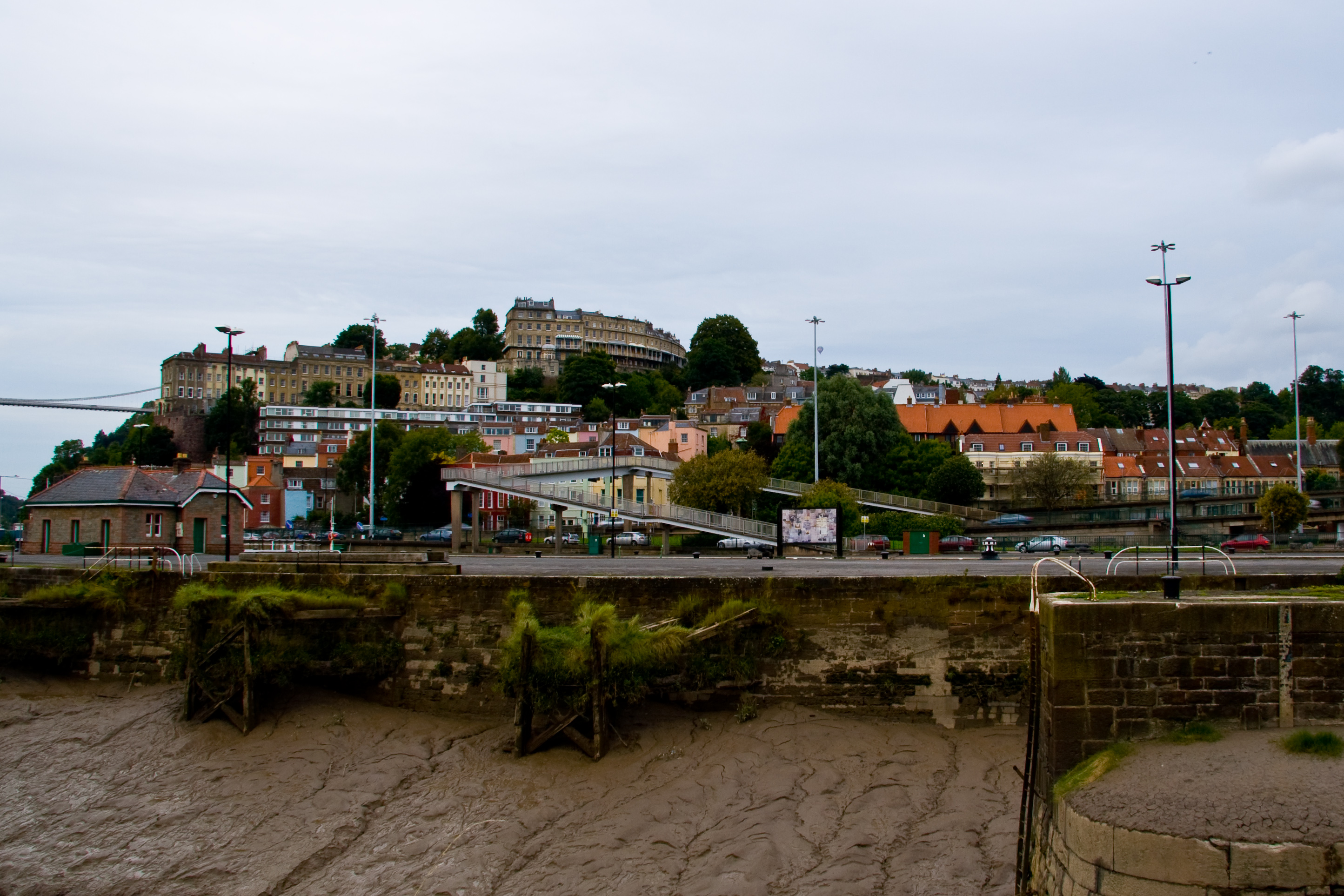
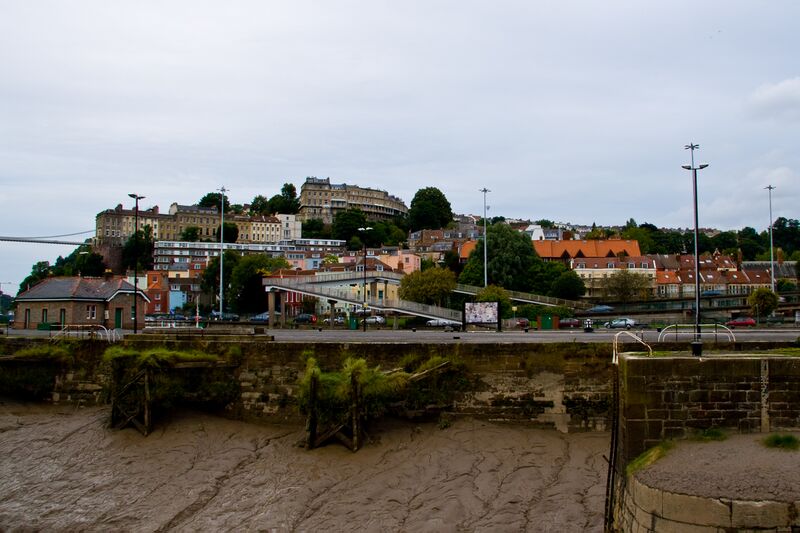
English: Part of the district of Hotwells, Bristol, United Kingdom, with the bank of the River Avon and the A4 trunk road in the foreground, with the higher houses of Clifton Village and Cliftonwood on the hills in the distance. Part of the Clifton Suspension Bridge is visible on the left.
|
| ⧼wm-license-information-date⧽ | 2008 |
| ⧼wm-license-information-source⧽ | ⧼Wm-license-own-work⧽ |
| ⧼wm-license-information-author⧽ | Gothick |
51°26′54.13″N 2°37′25.19″W / 51.4483694°N 2.6236639°W
ترخيص
|

تاريخ الملف
اضغط على زمن/تاريخ لرؤية الملف كما بدا في هذا الزمن.
| زمن/تاريخ | صورة مصغرة | الأبعاد | مستخدم | تعليق | |
|---|---|---|---|---|---|
| حالي | ★ مراجعة معتمدة 20:31، 25 ديسمبر 2023 | | 2٬889 × 1٬926 (1٫74 ميجابايت) | Pastakhov (نقاش | مساهمات) | Upload https://upload.wikimedia.org/wikipedia/commons/1/16/Hotwells_Bristol_UK.jpg |
لا يمكنك استبدال هذا الملف.
وصلات
لا يوجد صفحات تصل لهذه الصورة.