ملف:High Street - geograph.org.uk - 1002929.jpg
لا توجد دقة أعلى متوفرة.
High_Street_-_geograph.org.uk_-_1002929.jpg (640 × 555 بكسل حجم الملف: 64 كيلوبايت، نوع MIME: image/jpeg)
وصف قصير
| ⧼wm-license-information-description⧽ |
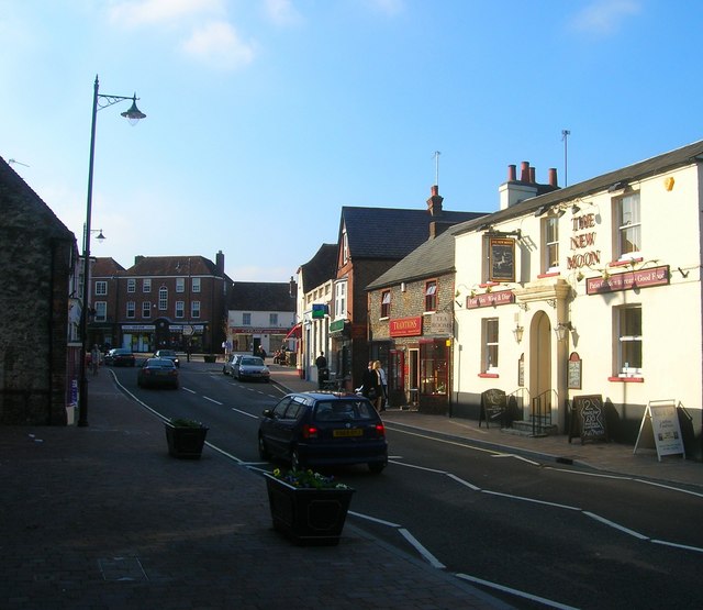
English: High Street The shops and houses at the top end of the street are in The Square. The road is also the busy A283. Whilst being the size of a village Storrington's facilities are more akin to a small town.
|
| ⧼wm-license-information-date⧽ | 2008 |
| ⧼wm-license-information-source⧽ | From geograph.org.uk |
| ⧼wm-license-information-author⧽ | Simon Carey |
| ⧼wm-license-cc-attribution⧽ (قالب:I18n/Credit line) |
Simon Carey / High Street / |
50°55′03″N 0°27′12″W / 50.91760°N 0.4532°W قالب:Object location
_heading:292)
ترخيص
تاريخ الملف
اضغط على زمن/تاريخ لرؤية الملف كما بدا في هذا الزمن.
| زمن/تاريخ | صورة مصغرة | الأبعاد | مستخدم | تعليق | |
|---|---|---|---|---|---|
| حالي | ★ مراجعة معتمدة 20:13، 12 أكتوبر 2023 | | 640 × 555 (64 كيلوبايت) | Pastakhov (نقاش | مساهمات) | Upload https://upload.wikimedia.org/wikipedia/commons/4/42/High_Street_-_geograph.org.uk_-_1002929.jpg |
لا يمكنك استبدال هذا الملف.
وصلات
لا يوجد صفحات تصل لهذه الصورة.