ملف:High Street, Easington - geograph.org.uk - 983241.jpg
لا توجد دقة أعلى متوفرة.
High_Street,_Easington_-_geograph.org.uk_-_983241.jpg (640 × 456 بكسل حجم الملف: 105 كيلوبايت، نوع MIME: image/jpeg)
وصف قصير
| ⧼wm-license-information-description⧽ |
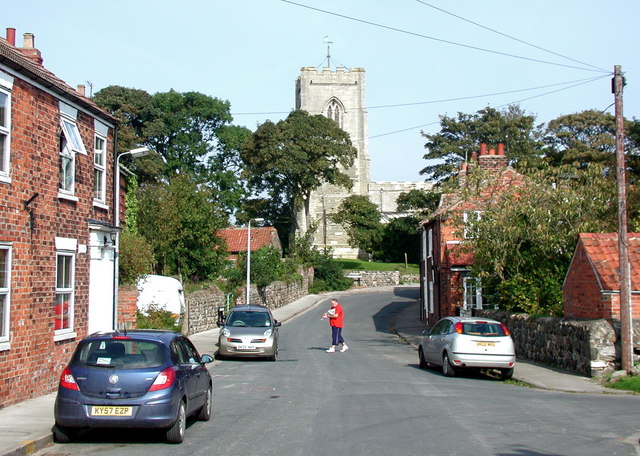
English: High Street, Easington, East Riding of Yorkshire, England.
Looking north towards All Saints' Church from just south of the Back Street junction. |
| ⧼wm-license-information-date⧽ | 2008 |
| ⧼wm-license-information-source⧽ | From geograph.org.uk |
| ⧼wm-license-information-author⧽ | Paul Glazzard |
| ⧼wm-license-information-permission⧽ (⧼wm-license-information-permission-reusing-text⧽) |
Creative Commons Attribution Share-alike license 2.0 |
| ⧼wm-license-cc-attribution⧽ (قالب:I18n/Credit line) |
Paul Glazzard / High Street, Easington / |
53°38′57″N 0°06′54″E / 53.64930°N 0.1150°E قالب:Object location
_heading:0)
ترخيص
تاريخ الملف
اضغط على زمن/تاريخ لرؤية الملف كما بدا في هذا الزمن.
| زمن/تاريخ | صورة مصغرة | الأبعاد | مستخدم | تعليق | |
|---|---|---|---|---|---|
| حالي | ★ مراجعة معتمدة 00:52، 20 أكتوبر 2023 | | 640 × 456 (105 كيلوبايت) | Pastakhov (نقاش | مساهمات) | Upload https://upload.wikimedia.org/wikipedia/commons/a/ad/High_Street%2C_Easington_-_geograph.org.uk_-_983241.jpg |
لا يمكنك استبدال هذا الملف.
وصلات
لا يوجد صفحات تصل لهذه الصورة.
تصنيفات:
- Easington, East Riding of Yorkshire
- Church towers in the East Riding of Yorkshire
- All Saints Church, Easington, East Riding of Yorkshire
- Streets in the East Riding of Yorkshire
- Houses in the East Riding of Yorkshire
- Walls in the East Riding of Yorkshire
- Trees in the East Riding of Yorkshire
- Utility poles in the East Riding of Yorkshire
- September 2008 in the East Riding of Yorkshire
- Images by Paul Glazzard
- United Kingdom photographs taken on 2008-09-26