ملف:Guyane department relief location map.jpg
حجم هذه المعاينة: 497 × 600 بكسل. البعد الآخر: 1٬183 × 1٬427 بكسل.
الملف الأصلي (1٬183 × 1٬427 بكسل حجم الملف: 439 كيلوبايت، نوع MIME: image/jpeg)
وصف قصير
03°55′30″N 53°06′00″W / 3.92500°N 53.10000°W
| ⧼wm-license-information-description⧽ |
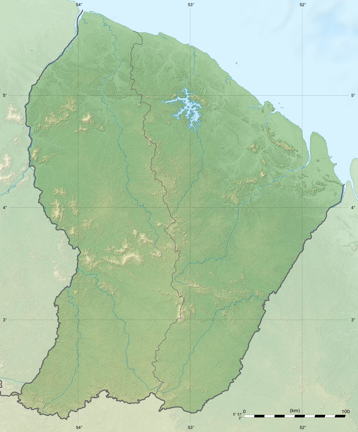
English: Blank physical map of the region and department of the French Guiana, France, for geo-location purpose, with arrondissements boundaries.
Français : Carte physique vierge de la région et département de Guyane, France, destinée à la géolocalisation, avec limite des arrondissements. Scales: 1:1,200,000 (precision: 300 m) for the topography; 1:7,444,000 (precision: 1,861 m) for the bathymetry
Geographic limits of the map:
|
| ⧼wm-license-information-date⧽ | 2008 |
| ⧼wm-license-information-source⧽ | ⧼Wm-license-own-work⧽
|
| ⧼wm-license-information-author⧽ | Eric Gaba (Sting - fr:Sting) |
| ⧼wm-license-information-permission⧽ (⧼wm-license-information-permission-reusing-text⧽) |
|
| ⧼wm-license-information-other-versions⧽ |
ترخيص
|

تاريخ الملف
اضغط على زمن/تاريخ لرؤية الملف كما بدا في هذا الزمن.
| زمن/تاريخ | صورة مصغرة | الأبعاد | مستخدم | تعليق | |
|---|---|---|---|---|---|
| حالي | ★ مراجعة معتمدة 00:17، 30 أكتوبر 2023 | | 1٬183 × 1٬427 (439 كيلوبايت) | Pastakhov (نقاش | مساهمات) | Upload https://upload.wikimedia.org/wikipedia/commons/8/8a/Guyane_department_relief_location_map.jpg |
لا يمكنك استبدال هذا الملف.
وصلات
الصفحات التالية تحتوي على وصلة لهذه الصورة: