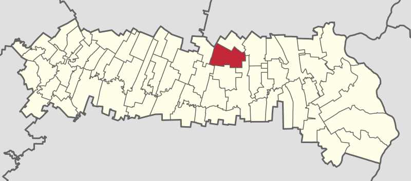
ملف:Grivița in the Ialomița County.svg

حجم معاينة PNG لذلك الملف ذي الامتداد SVG: 800 × 353 بكسل. البعد الآخر: 2٬560 × 1٬129 بكسل.
الملف الأصلي (ملف SVG، أبعاده 2٬654 × 1٬170 بكسل، حجم الملف: 392 كيلوبايت)
وصف قصير
| ⧼wm-license-information-description⧽ | |
| ⧼wm-license-information-date⧽ | 2016 |
| ⧼wm-license-information-source⧽ | The geometrical data was created by ANCPI (Agenția Națională de Cadastru și Publicitate Imobiliară), also known as NACLR (the National Agency for Cadastre and Land Registration), an institution belonging to the Romanian state. The data was published by the Romanian Government at http://data.gov.ro/ under the Open Government License. It was then converted to a shapefile by Cristian Balint and Vasile Crăciunescu from geo-spatial.org and released under the same license. The SVG conversion and adaptation to a locator map series was made by User:Andreyyshore (talk | contribs) using QGIS, Inkscape, Notepad++ and SVGOMG!, and has been released on Wikimedia Commons under the same license. |
| ⧼wm-license-information-author⧽ | ANCPI, Geo-Spatial, User:Andreyyshore |
ترخيص
تاريخ الملف
اضغط على زمن/تاريخ لرؤية الملف كما بدا في هذا الزمن.
| زمن/تاريخ | صورة مصغرة | الأبعاد | مستخدم | تعليق | |
|---|---|---|---|---|---|
| حالي | ★ مراجعة معتمدة 15:30، 10 أكتوبر 2023 | | 2٬654 × 1٬170 (392 كيلوبايت) | Pastakhov (نقاش | مساهمات) | Upload https://upload.wikimedia.org/wikipedia/commons/3/35/Grivi%C8%9Ba_in_the_Ialomi%C8%9Ba_County.svg |
لا يمكنك استبدال هذا الملف.
وصلات
لا يوجد صفحات تصل لهذه الصورة.