ملف:Greater Antilles relief location map.png
حجم هذه المعاينة: 800 × 508 بكسل. البعد الآخر: 845 × 537 بكسل.
الملف الأصلي (845 × 537 بكسل حجم الملف: 690 كيلوبايت، نوع MIME: image/png)
| ⧼wm-license-information-description⧽ |
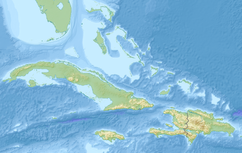
Greater Antilles relief location map. Equirectangular projection. Stretched by 106.0% |
|||
| ⧼wm-license-information-date⧽ | ||||
| ⧼wm-license-information-source⧽ | File:Middle America relief location map.png | |||
| ⧼wm-license-information-author⧽ | Original by User:Uwe Dedering. Cropped by User:Andrew Dalby | |||
| ⧼wm-license-information-permission⧽ (⧼wm-license-information-permission-reusing-text⧽) |
|
تاريخ الملف
اضغط على زمن/تاريخ لرؤية الملف كما بدا في هذا الزمن.
| زمن/تاريخ | صورة مصغرة | الأبعاد | مستخدم | تعليق | |
|---|---|---|---|---|---|
| حالي | ★ مراجعة معتمدة 16:14، 10 نوفمبر 2023 | | 845 × 537 (690 كيلوبايت) | Pastakhov (نقاش | مساهمات) | Upload https://upload.wikimedia.org/wikipedia/commons/8/8c/Greater_Antilles_relief_location_map.png |
لا يمكنك استبدال هذا الملف.
وصلات
لا يوجد صفحات تصل لهذه الصورة.