ملف:Golfe de Saint-Tropez (vue aérienne).jpg
حجم هذه المعاينة: 800 × 531 بكسل. البعدان الآخران: 2٬560 × 1٬700 بكسل | 4٬288 × 2٬848 بكسل.
الملف الأصلي (4٬288 × 2٬848 بكسل حجم الملف: 2٫91 ميجابايت، نوع MIME: image/jpeg)
وصف قصير
| ⧼wm-license-information-description⧽ |
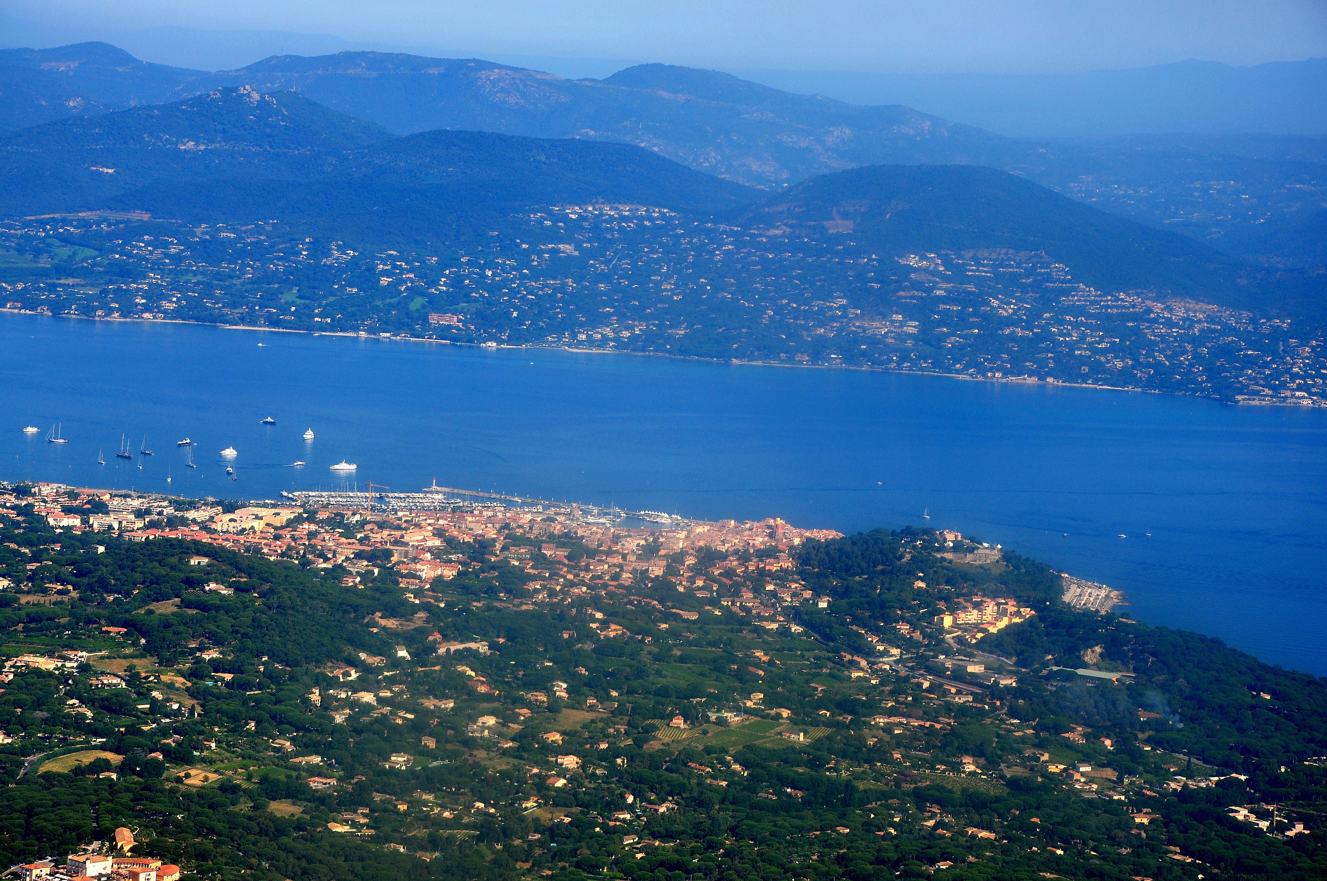
Français : Vue aérienne du golfe de Saint-Tropez
|
| ⧼wm-license-information-date⧽ | 2011 |
| ⧼wm-license-information-source⧽ | ⧼Wm-license-own-work⧽ |
| ⧼wm-license-information-author⧽ | Starus |
43°17′50″N 6°40′59″E / 43.29722°N 6.68306°E
.jpg¶ms=43_17_50_N_6_40_59_E_)
ترخيص
|
تاريخ الملف
اضغط على زمن/تاريخ لرؤية الملف كما بدا في هذا الزمن.
| زمن/تاريخ | صورة مصغرة | الأبعاد | مستخدم | تعليق | |
|---|---|---|---|---|---|
| حالي | ★ مراجعة معتمدة 05:56، 5 ديسمبر 2023 | | 4٬288 × 2٬848 (2٫91 ميجابايت) | Pastakhov (نقاش | مساهمات) | Upload https://upload.wikimedia.org/wikipedia/commons/d/d0/Golfe_de_Saint-Tropez_%28vue_a%C3%A9rienne%29.jpg |
لا يمكنك استبدال هذا الملف.
وصلات
لا يوجد صفحات تصل لهذه الصورة.
.jpg&oldid=3703603)