ملف:Glaze Brook - geograph.org.uk - 52092.jpg
لا توجد دقة أعلى متوفرة.
Glaze_Brook_-_geograph.org.uk_-_52092.jpg (640 × 480 بكسل حجم الملف: 74 كيلوبايت، نوع MIME: image/jpeg)
وصف قصير
| ⧼wm-license-information-description⧽ |
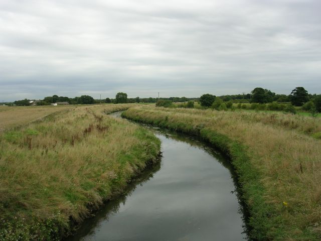
English: Glaze Brook. Glaze Brook (also known as the River Glaze) looking downstream from Pennington Bridge, which carries the East Lancashire Road (A580) over the brook. The brook is now making its way across the western edge of Chat Moss. Prior to this point the brook is known as Pennington Brook. The source of the brook being Pennington Flash, a lake formed by mining subsidence near Leigh. SJ67159837 looking S.
|
| ⧼wm-license-information-date⧽ | 2005 |
| ⧼wm-license-information-source⧽ | From geograph.org.uk |
| ⧼wm-license-information-author⧽ | Keith Williamson |
| ⧼wm-license-cc-attribution⧽ (قالب:I18n/Credit line) |
Keith Williamson / Glaze Brook / |
ترخيص
تاريخ الملف
اضغط على زمن/تاريخ لرؤية الملف كما بدا في هذا الزمن.
| زمن/تاريخ | صورة مصغرة | الأبعاد | مستخدم | تعليق | |
|---|---|---|---|---|---|
| حالي | ★ مراجعة معتمدة 06:30، 1 ديسمبر 2023 | | 640 × 480 (74 كيلوبايت) | Pastakhov (نقاش | مساهمات) | Upload https://upload.wikimedia.org/wikipedia/commons/5/59/Glaze_Brook_-_geograph.org.uk_-_52092.jpg |
لا يمكنك استبدال هذا الملف.
وصلات
لا يوجد صفحات تصل لهذه الصورة.