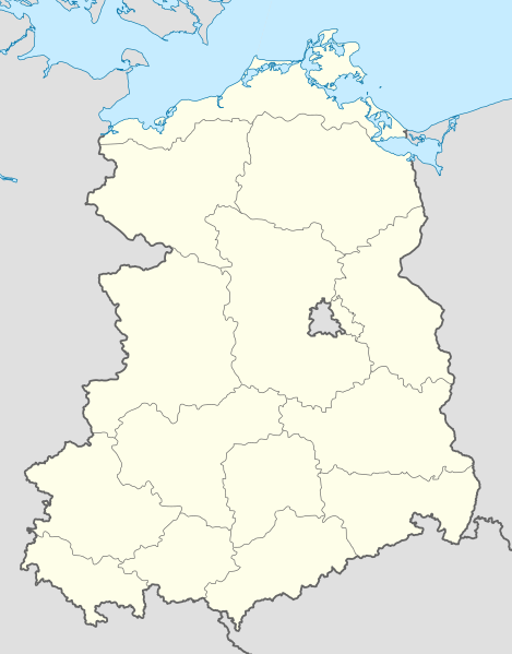
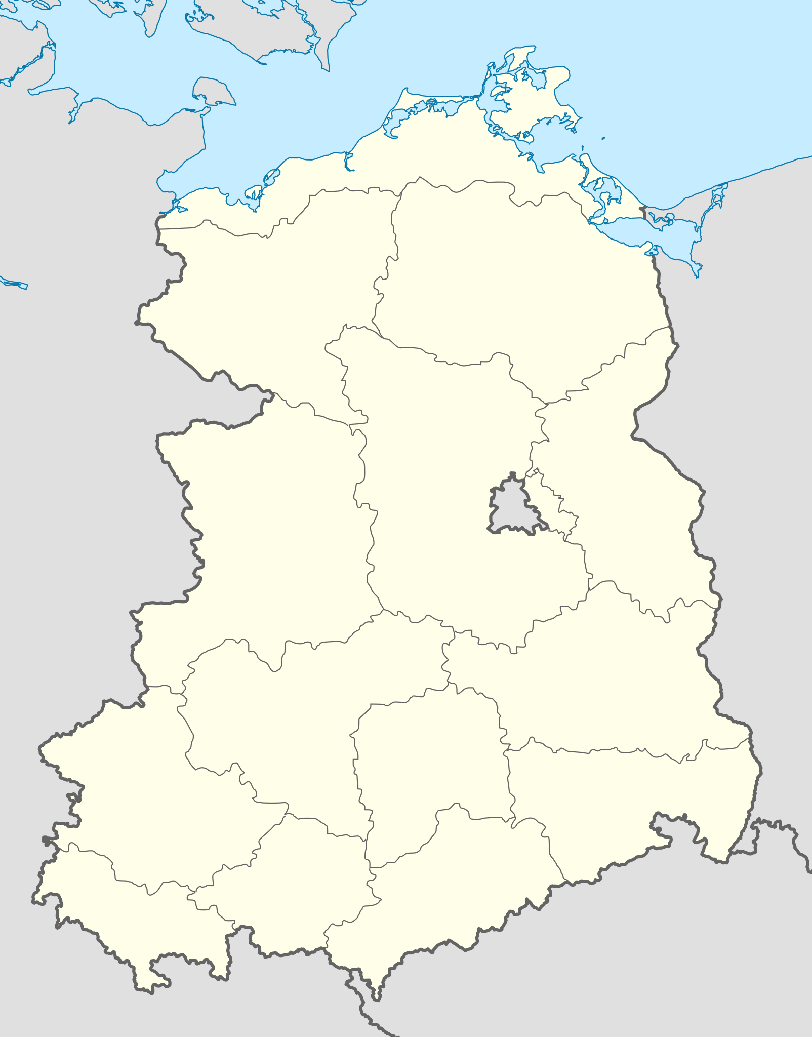
ملف:Germany, German Democratic Republic location map w·o FRG July 1952 - October 1990.svg

حجم معاينة PNG لذلك الملف ذي الامتداد SVG: 469 × 599 بكسل. البعد الآخر: 1٬604 × 2٬048 بكسل.
الملف الأصلي (ملف SVG، أبعاده 618 × 789 بكسل، حجم الملف: 853 كيلوبايت)
| ⧼wm-license-information-description⧽ |
Deutsch: Positionskarte der Deutschen Demokratischen Republik im Gebietsstand von Juli 1952 bis Oktober 1990
Quadratische Plattkarte, N-S-Streckung 150 %. Geographische Begrenzung der Karte:
English: Location map of German Democratic Republic as of January 1952 till October 1990
Equirectangular projection, N/S stretching 150 %. Geographic limits of the map:
|
| ⧼wm-license-information-date⧽ | 2010 |
| ⧼wm-license-information-source⧽ | ⧼Wm-license-own-work⧽, based on: |
| ⧼wm-license-information-author⧽ | قالب:TUBS |
| ⧼wm-license-information-other-versions⧽ |
قالب:DerivativeVersions قالب:Germany location map/other versions |
|

تاريخ الملف
اضغط على زمن/تاريخ لرؤية الملف كما بدا في هذا الزمن.
| زمن/تاريخ | صورة مصغرة | الأبعاد | مستخدم | تعليق | |
|---|---|---|---|---|---|
| حالي | ★ مراجعة معتمدة 07:30، 7 أكتوبر 2023 | | 618 × 789 (853 كيلوبايت) | Pastakhov (نقاش | مساهمات) | Upload https://upload.wikimedia.org/wikipedia/commons/5/51/Germany%2C_German_Democratic_Republic_location_map_w%C2%B7o_FRG_July_1952_-_October_1990.svg |
لا يمكنك استبدال هذا الملف.
وصلات
لا يوجد صفحات تصل لهذه الصورة.