ملف:Georgia State Route 285, Decatur County border.jpg
حجم هذه المعاينة: 800 × 533 بكسل. البعدان الآخران: 2٬560 × 1٬707 بكسل | 5٬184 × 3٬456 بكسل.
الملف الأصلي (5٬184 × 3٬456 بكسل حجم الملف: 6٫21 ميجابايت، نوع MIME: image/jpeg)
وصف قصير
| ⧼wm-license-information-description⧽ |
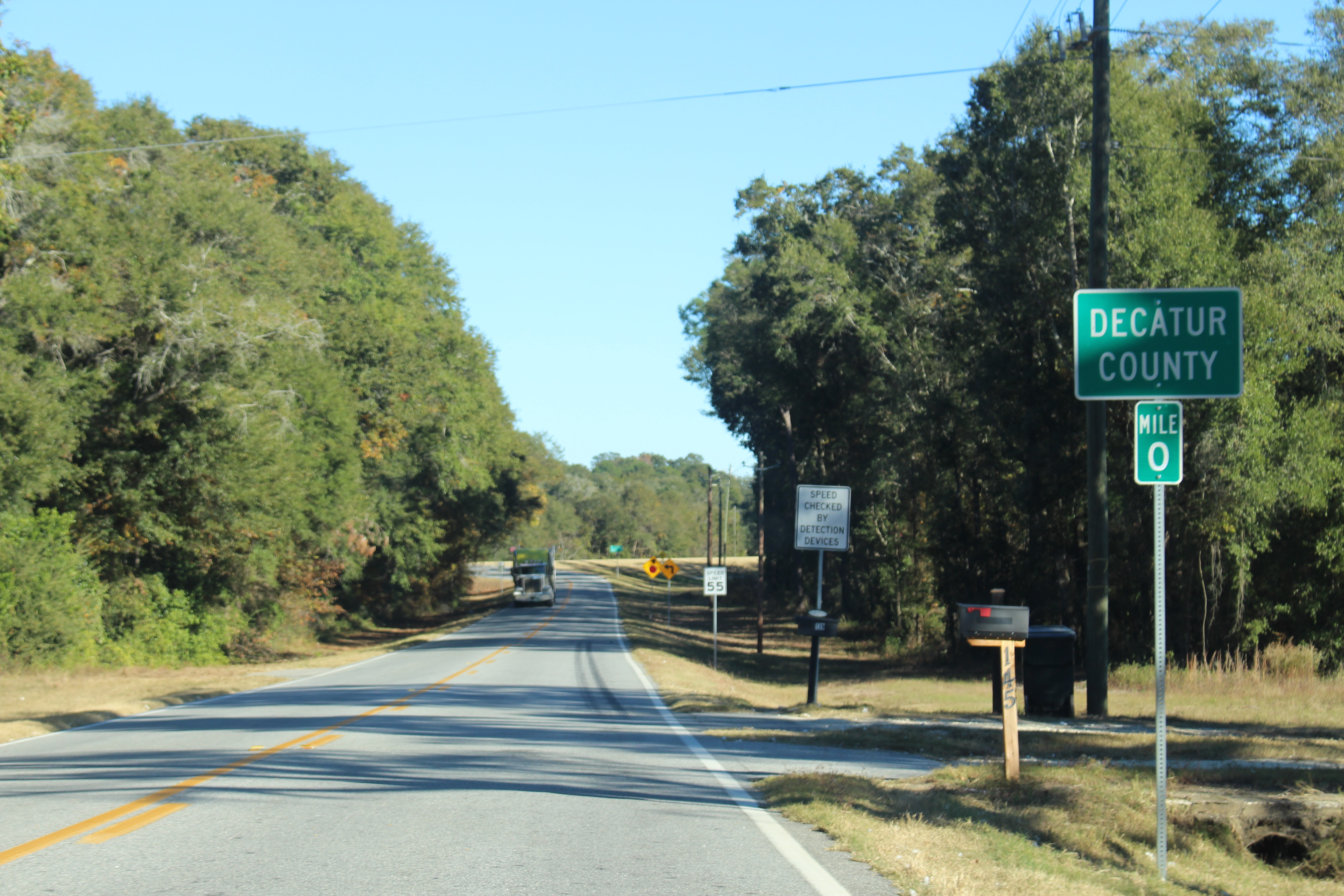
English: Georgia State Route 285, Decatur/Seminole County, Georgia
|
| ⧼wm-license-information-date⧽ | 2016, {{time}} – invalid date format 11 (help) |
| ⧼wm-license-information-source⧽ | ⧼Wm-license-own-work⧽ |
| ⧼wm-license-information-author⧽ | Michael Rivera |
30°58′39″N 84°45′18″W / 30.977386°N 84.754942°W
ترخيص
|
تاريخ الملف
اضغط على زمن/تاريخ لرؤية الملف كما بدا في هذا الزمن.
| زمن/تاريخ | صورة مصغرة | الأبعاد | مستخدم | تعليق | |
|---|---|---|---|---|---|
| حالي | ★ مراجعة معتمدة 04:51، 7 أكتوبر 2023 | | 5٬184 × 3٬456 (6٫21 ميجابايت) | Pastakhov (نقاش | مساهمات) | Upload https://upload.wikimedia.org/wikipedia/commons/a/a9/Georgia_State_Route_285%2C_Decatur_County_border.jpg |
لا يمكنك استبدال هذا الملف.
وصلات
لا يوجد صفحات تصل لهذه الصورة.
معلومات الصورة (ميتا)
تصنيفات:
- Self-published work
- 2016 Georgia (U.S. state) photos by Mjrmtg
- County signs in Georgia (U.S. state)
- Georgia State Route 285
- Green and white rectangular road signs
- Mile marker signs in Georgia (U.S. state)
- Mile marker 0
- November 2016 in Georgia (U.S. state)
- Road signs in Decatur County, Georgia
- Road signs in Seminole County, Georgia
- Taken with Canon EOS 700D
- November 2016 in road transport in the United States
- Road signs in the United States photographed in 2016
- United States photographs taken on 2016-11-20
- White on green road signs