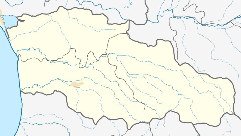
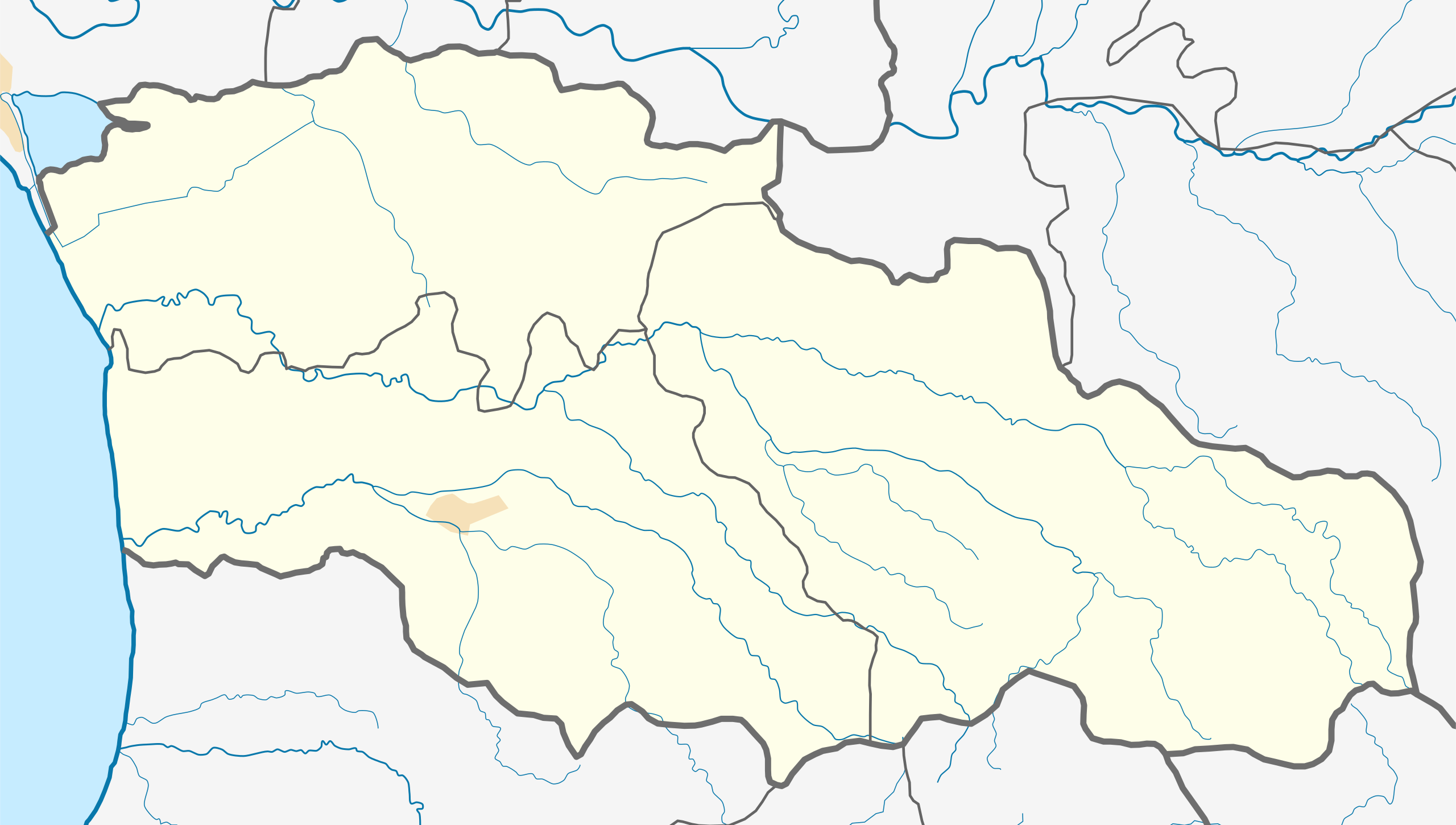
ملف:Georgia Guria location map.svg

حجم معاينة PNG لذلك الملف ذي الامتداد SVG: 800 × 453 بكسل. البعد الآخر: 2٬560 × 1٬450 بكسل.
الملف الأصلي (ملف SVG، أبعاده 2٬071 × 1٬173 بكسل، حجم الملف: 220 كيلوبايت)
وصف قصير
| ⧼wm-license-information-description⧽ |
English: Guria region location map
قالب:Ka Equirectangular projection, N/S stretching 135 %. Geographic limits of the map:
|
| ⧼wm-license-information-date⧽ | 2018 |
| ⧼wm-license-information-source⧽ | ⧼Wm-license-own-work⧽ |
| ⧼wm-license-information-author⧽ | Giorgi Balakhadze |
| ⧼wm-license-information-other-versions⧽ |
|
| SVG | قالب:ValidSVG |
ترخيص
|
تاريخ الملف
اضغط على زمن/تاريخ لرؤية الملف كما بدا في هذا الزمن.
| زمن/تاريخ | صورة مصغرة | الأبعاد | مستخدم | تعليق | |
|---|---|---|---|---|---|
| حالي | ★ مراجعة معتمدة 13:41، 30 أكتوبر 2023 | | 2٬071 × 1٬173 (220 كيلوبايت) | Pastakhov (نقاش | مساهمات) | Upload https://upload.wikimedia.org/wikipedia/commons/1/1a/Georgia_Guria_location_map.svg |
لا يمكنك استبدال هذا الملف.
وصلات
الصفحات التالية تحتوي على وصلة لهذه الصورة: