ملف:Gaeltacht Park, Whitehall. Dublin, Ireland - geograph.org.uk - 332084.jpg
لا توجد دقة أعلى متوفرة.
Gaeltacht_Park,_Whitehall._Dublin,_Ireland_-_geograph.org.uk_-_332084.jpg (640 × 427 بكسل حجم الملف: 128 كيلوبايت، نوع MIME: image/jpeg)
وصف قصير
| ⧼wm-license-information-description⧽ |
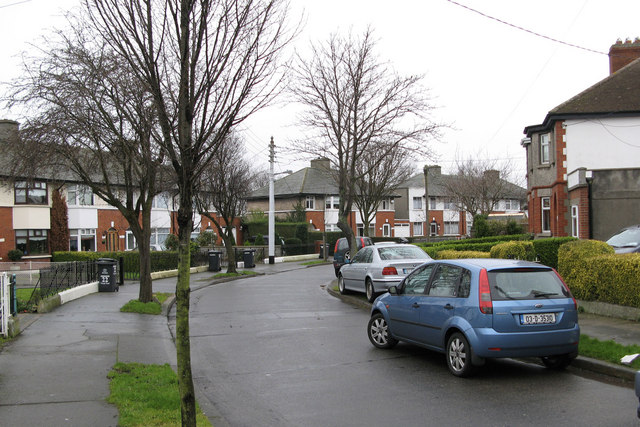
English: Gaeltacht Park, Whitehall. Dublin, Ireland This estate was originally built solely for Irish speakers in 1924, hence Gaeltacht which means Irish speaking area in Irish. It was expanded to incorporate the housing needs of members of other Public Utility Societies such as the Post Office and the Civil Service.
|
| ⧼wm-license-information-date⧽ | 2007 |
| ⧼wm-license-information-source⧽ | From geograph.org.uk |
| ⧼wm-license-information-author⧽ | Peter Gerken |
| ⧼wm-license-cc-attribution⧽ (قالب:I18n/Credit line) |
Peter Gerken / Gaeltacht Park, Whitehall. Dublin, Ireland / |
53°22′58″N 6°14′46″W / 53.3827°N 6.246°W قالب:Object location
_heading:292)
ترخيص
تاريخ الملف
اضغط على زمن/تاريخ لرؤية الملف كما بدا في هذا الزمن.
| زمن/تاريخ | صورة مصغرة | الأبعاد | مستخدم | تعليق | |
|---|---|---|---|---|---|
| حالي | ★ مراجعة معتمدة 19:58، 14 نوفمبر 2023 | | 640 × 427 (128 كيلوبايت) | Pastakhov (نقاش | مساهمات) | Upload https://upload.wikimedia.org/wikipedia/commons/6/64/Gaeltacht_Park%2C_Whitehall._Dublin%2C_Ireland_-_geograph.org.uk_-_332084.jpg |
لا يمكنك استبدال هذا الملف.
وصلات
لا يوجد صفحات تصل لهذه الصورة.