ملف:Göda Nedaschütz Aerial Pan.jpg
حجم هذه المعاينة: 800 × 452 بكسل. البعدان الآخران: 2٬560 × 1٬447 بكسل | 6٬034 × 3٬410 بكسل.
الملف الأصلي (6٬034 × 3٬410 بكسل حجم الملف: 14٫75 ميجابايت، نوع MIME: image/jpeg)
وصف قصير
| ⧼wm-license-information-description⧽ |
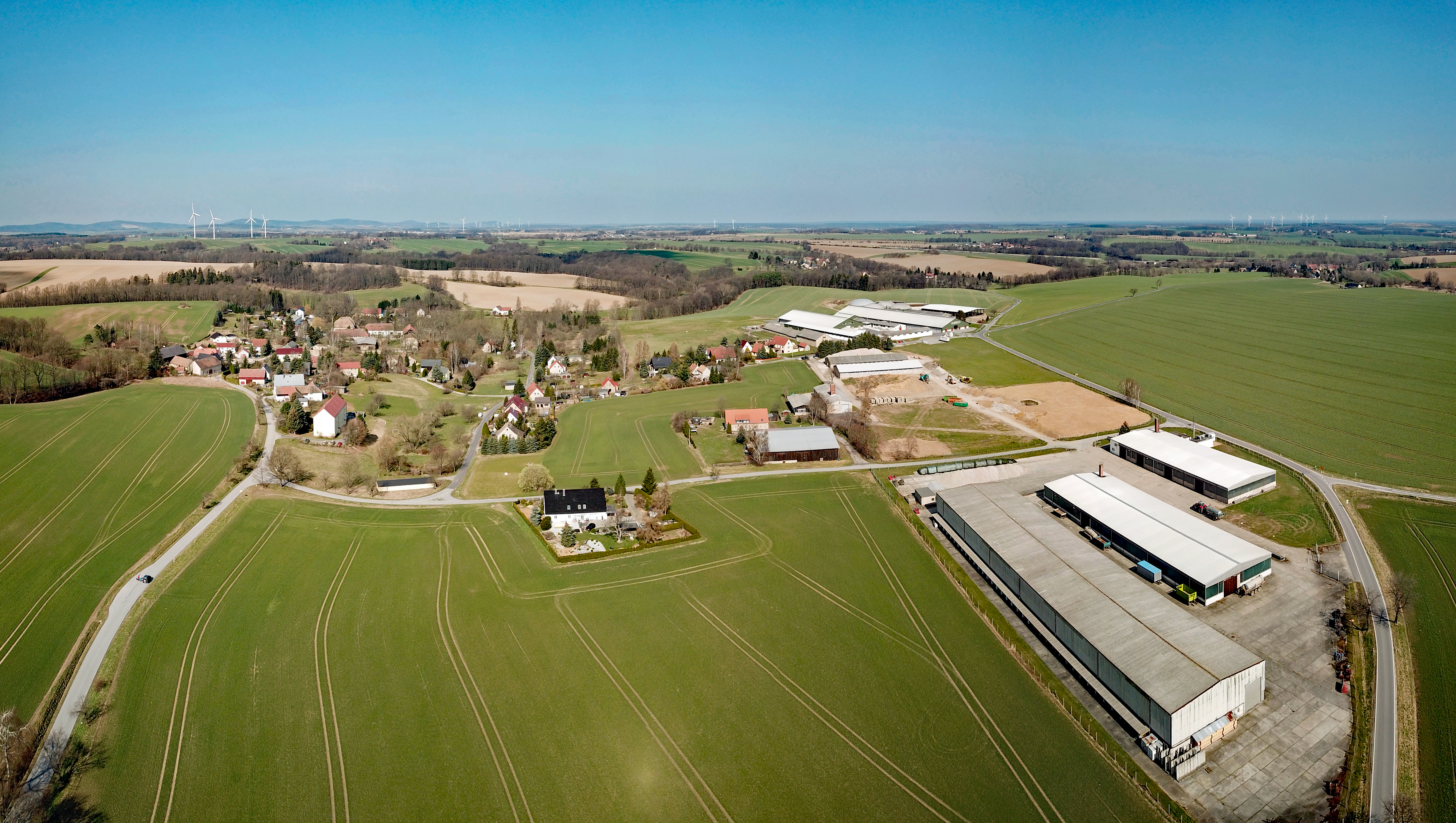
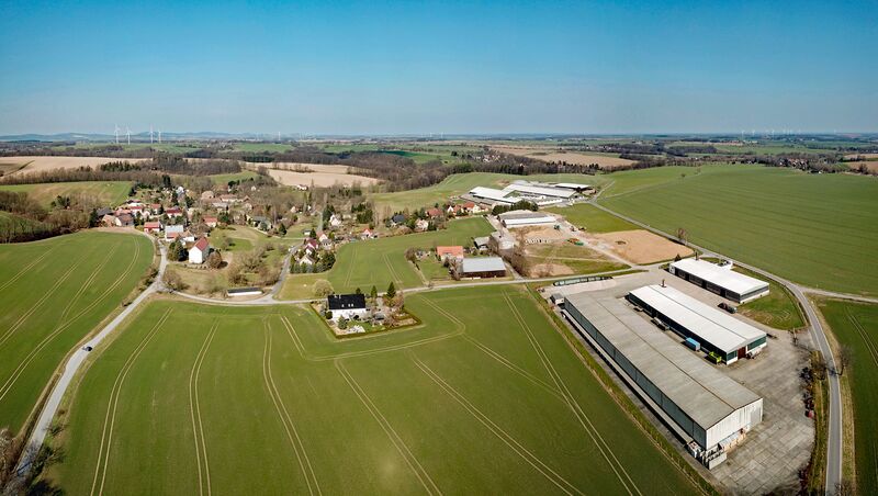
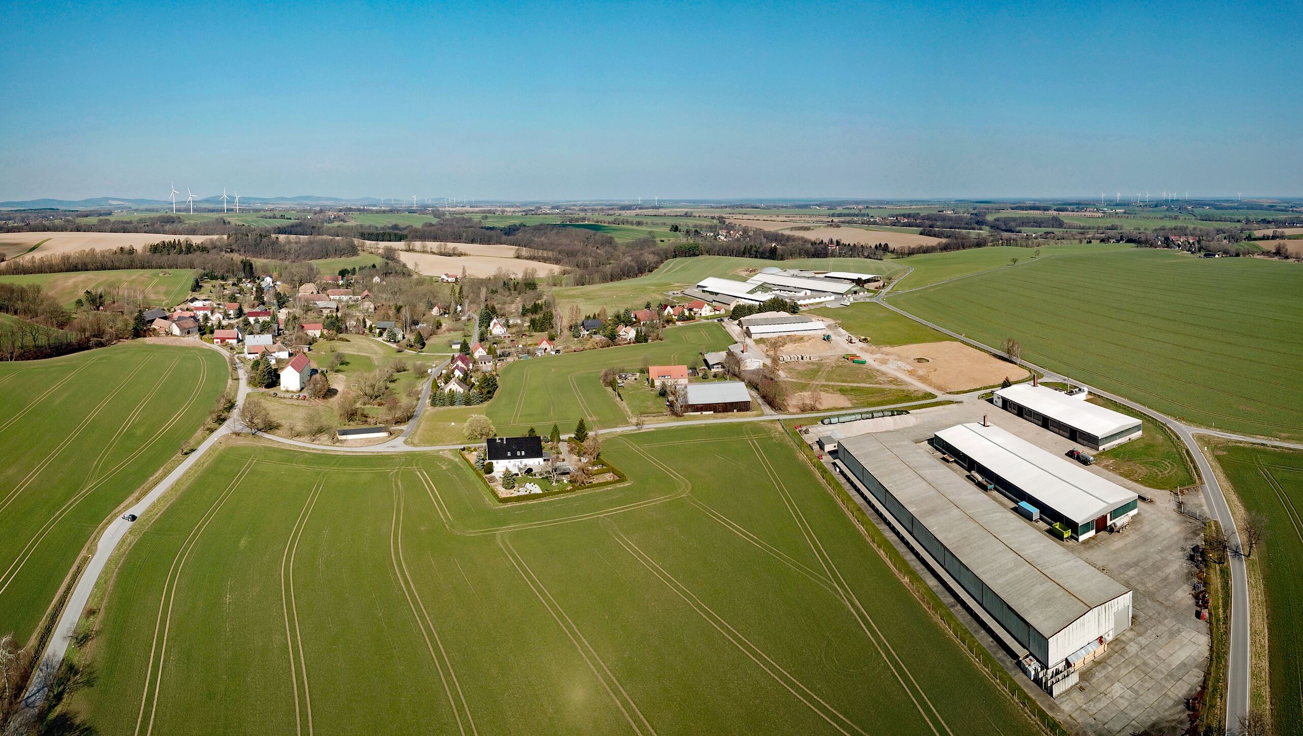
English: Nedaschütz (Göda, Saxony, Germany)
|
| ⧼wm-license-information-date⧽ | 2018, {{time}} – invalid date format 45 (help) |
| ⧼wm-license-information-source⧽ | ⧼Wm-license-own-work⧽ |
| ⧼wm-license-information-author⧽ | PaulT (Gunther Tschuch) |
51°11′07″N 14°17′34″E / 51.185353°N 14.29277°E
ترخيص
|
تاريخ الملف
اضغط على زمن/تاريخ لرؤية الملف كما بدا في هذا الزمن.
| زمن/تاريخ | صورة مصغرة | الأبعاد | مستخدم | تعليق | |
|---|---|---|---|---|---|
| حالي | ★ مراجعة معتمدة 19:30، 16 أكتوبر 2023 | | 6٬034 × 3٬410 (14٫75 ميجابايت) | Pastakhov (نقاش | مساهمات) | Upload https://upload.wikimedia.org/wikipedia/commons/6/62/G%C3%B6da_Nedasch%C3%BCtz_Aerial_Pan.jpg |
لا يمكنك استبدال هذا الملف.
وصلات
لا يوجد صفحات تصل لهذه الصورة.