ملف:Frontière D-CZ - panoramio.jpg

حجم هذه المعاينة: 800 × 600 بكسل. البعدان الآخران: 2٬560 × 1٬920 بكسل | 3٬264 × 2٬448 بكسل.
الملف الأصلي (3٬264 × 2٬448 بكسل حجم الملف: 2٫3 ميجابايت، نوع MIME: image/jpeg)
وصف قصير
| ⧼wm-license-information-description⧽ |
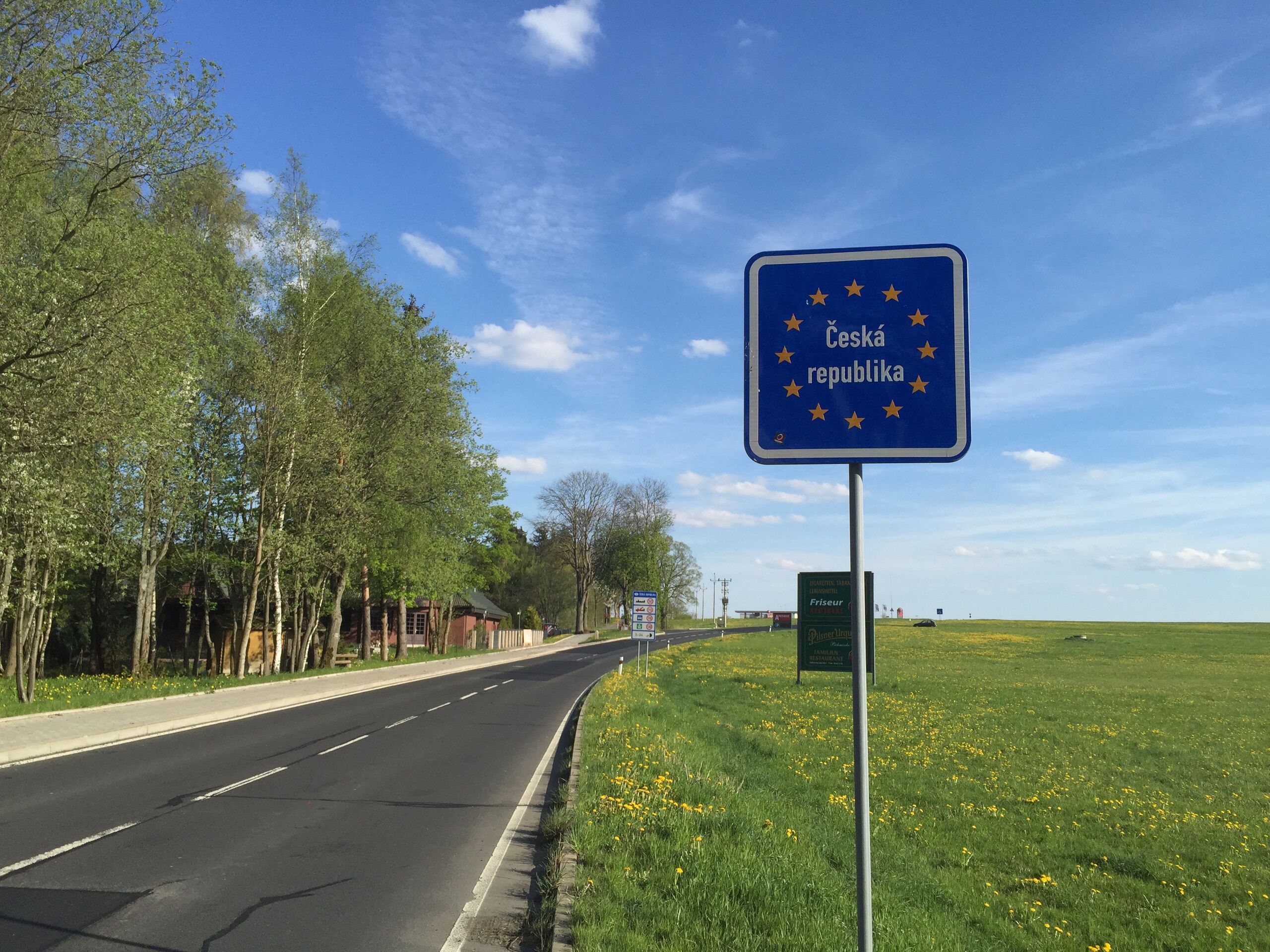
frontière D-CZ |
| ⧼wm-license-information-date⧽ | قالب:Taken on |
| ⧼wm-license-information-source⧽ | https://web.archive.org/web/20161103171321/http://www.panoramio.com/photo/130400903 |
| ⧼wm-license-information-author⧽ | Kobzarius |
| ⧼wm-license-information-permission⧽ (⧼wm-license-information-permission-reusing-text⧽) |
|
| Panoramio Tags |
Eichigt, 2016, DDR, frontières, trip-16-5 |
تاريخ الملف
اضغط على زمن/تاريخ لرؤية الملف كما بدا في هذا الزمن.
| زمن/تاريخ | صورة مصغرة | الأبعاد | مستخدم | تعليق | |
|---|---|---|---|---|---|
| حالي | ★ مراجعة معتمدة 00:56، 9 أكتوبر 2023 | | 3٬264 × 2٬448 (2٫3 ميجابايت) | Pastakhov (نقاش | مساهمات) | Upload https://upload.wikimedia.org/wikipedia/commons/d/d1/Fronti%C3%A8re_D-CZ_-_panoramio.jpg |
لا يمكنك استبدال هذا الملف.
وصلات
لا يوجد صفحات تصل لهذه الصورة.