ملف:Fisher Electoral District SA 2014.png
حجم هذه المعاينة: 500 × 600 بكسل. البعد الآخر: 2٬000 × 2٬400 بكسل.
الملف الأصلي (2٬000 × 2٬400 بكسل حجم الملف: 228 كيلوبايت، نوع MIME: image/png)
وصف قصير
| ⧼wm-license-information-description⧽ |
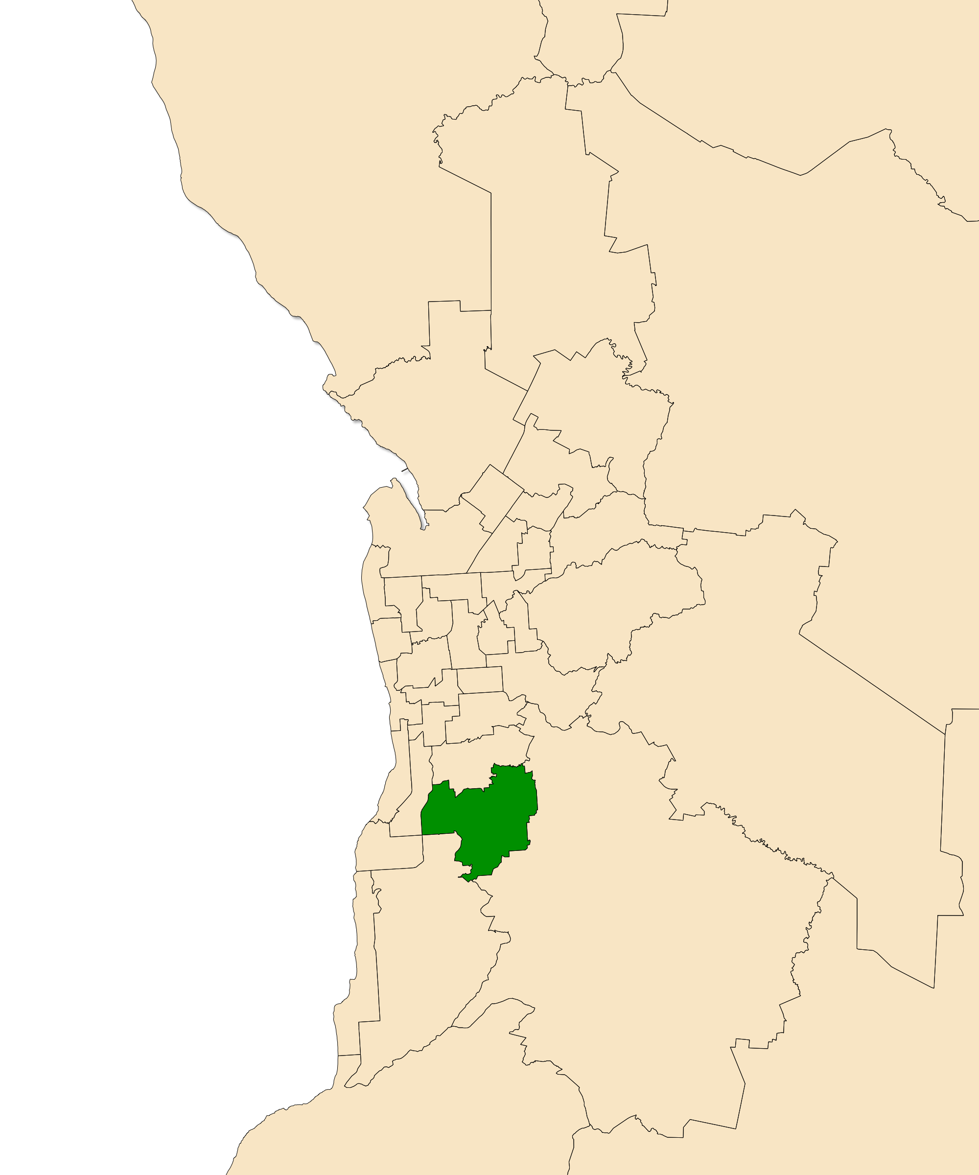
English: The South Australian electoral district of Fisher, shown dark green in the Greater Adelaide area. Map derived from data at South Australia Department of Planning, Transport and Infrastructure, licensed under a Creative Commons Attribution 3.0 Australia Licence.
|
| ⧼wm-license-information-date⧽ | 2014, 10:12 am UTC+00:00 [refresh] |
| ⧼wm-license-information-source⧽ | ⧼Wm-license-own-work⧽ |
| ⧼wm-license-information-author⧽ | Canley |
ترخيص
|
تاريخ الملف
اضغط على زمن/تاريخ لرؤية الملف كما بدا في هذا الزمن.
| زمن/تاريخ | صورة مصغرة | الأبعاد | مستخدم | تعليق | |
|---|---|---|---|---|---|
| حالي | ★ مراجعة معتمدة 22:37، 20 أكتوبر 2023 | | 2٬000 × 2٬400 (228 كيلوبايت) | Pastakhov (نقاش | مساهمات) | Upload https://upload.wikimedia.org/wikipedia/commons/4/4a/Fisher_Electoral_District_SA_2014.png |
لا يمكنك استبدال هذا الملف.
وصلات
لا يوجد صفحات تصل لهذه الصورة.