ملف:Ethiopia in its region (before 1993).svg

حجم معاينة PNG لذلك الملف ذي الامتداد SVG: 556 × 315 بكسل. البعد الآخر: 2٬560 × 1٬450 بكسل.
الملف الأصلي (ملف SVG، أبعاده 556 × 315 بكسل، حجم الملف: 259 كيلوبايت)
وصف قصير
| ⧼wm-license-information-description⧽ |
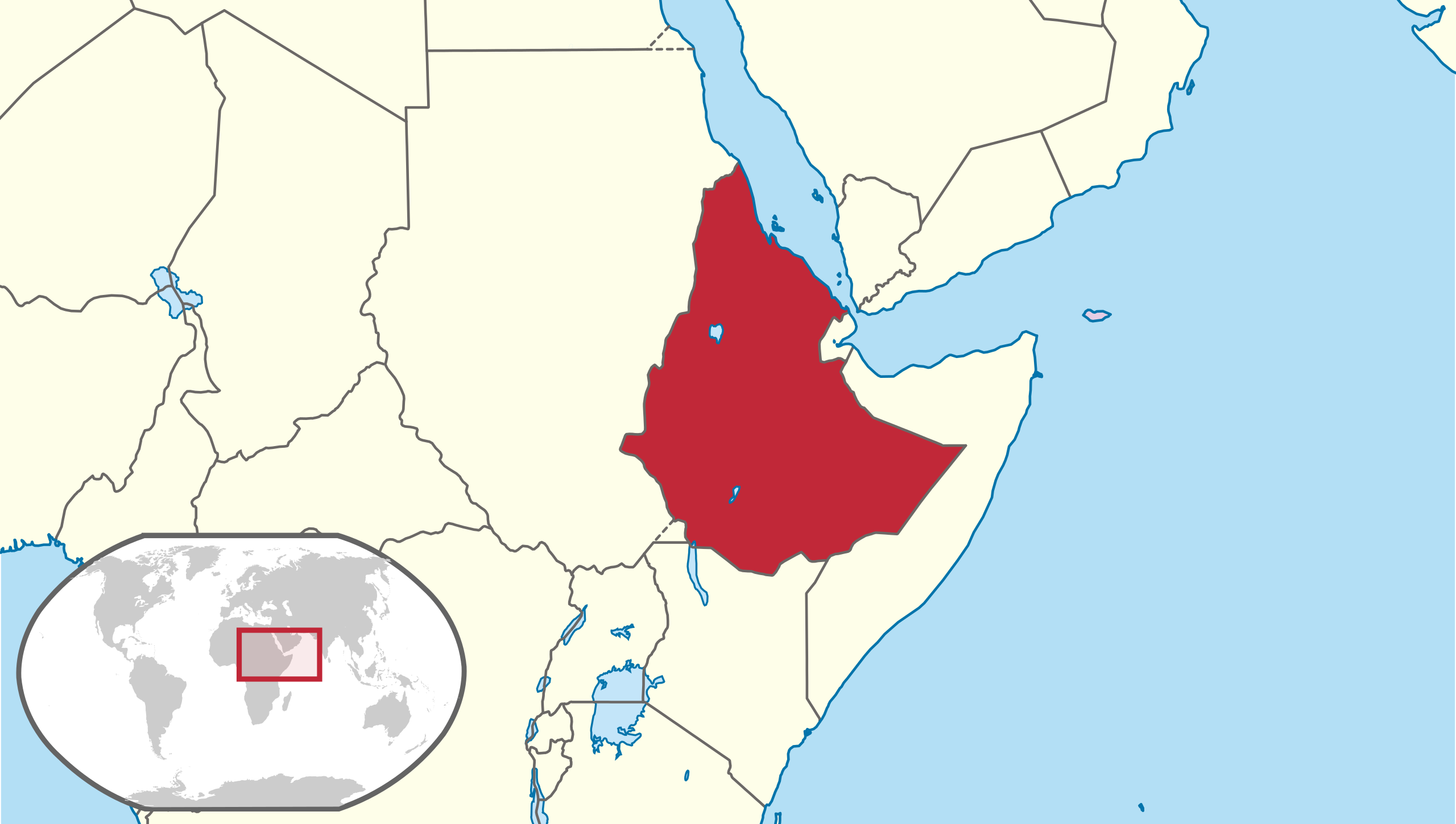
English: Ethiopia locator map before Eritrea declared independence. The People's Democratic Republic of Ethiopia (1987-1993), Derg (1974-1987) and the Federation of Ethiopia and Eritrea (1952-1962). Image for use in history articles about Ethiopia or Eritrea when Eritrea was still attached to Ethiopia.
|
| ⧼wm-license-information-date⧽ | 2018 |
| ⧼wm-license-information-source⧽ | ⧼Wm-license-own-work⧽قالب:AttribSVG |
| ⧼wm-license-information-author⧽ | Milenioscuro |
ترخيص
|
تاريخ الملف
اضغط على زمن/تاريخ لرؤية الملف كما بدا في هذا الزمن.
| زمن/تاريخ | صورة مصغرة | الأبعاد | مستخدم | تعليق | |
|---|---|---|---|---|---|
| حالي | ★ مراجعة معتمدة 13:16، 7 أكتوبر 2023 | | 556 × 315 (259 كيلوبايت) | Pastakhov (نقاش | مساهمات) | Upload https://upload.wikimedia.org/wikipedia/commons/9/95/Ethiopia_in_its_region_%28before_1993%29.svg |
لا يمكنك استبدال هذا الملف.
وصلات
لا يوجد صفحات تصل لهذه الصورة.
معلومات الصورة (ميتا)
.svg&oldid=3017331)
تصنيفات:
- Self-published work
- SVG locator maps of Ethiopia (location map scheme)
- Maps of People's Democratic Republic of Ethiopia
- SVG locator maps of countries of Africa (16:9 regional location map scheme)
- SVG locator maps of former countries of Africa (location map scheme)
- Locator maps of former countries by User:Milenioscuro