ملف:ES JoyadeCeren 06 2011 Estructura 9 Area 2 Tamazcal 2106 zoom out.jpg
حجم هذه المعاينة: 800 × 533 بكسل. البعد الآخر: 1٬800 × 1٬200 بكسل.
الملف الأصلي (1٬800 × 1٬200 بكسل حجم الملف: 1٫86 ميجابايت، نوع MIME: image/jpeg)
وصف قصير
| ⧼wm-license-information-description⧽ |
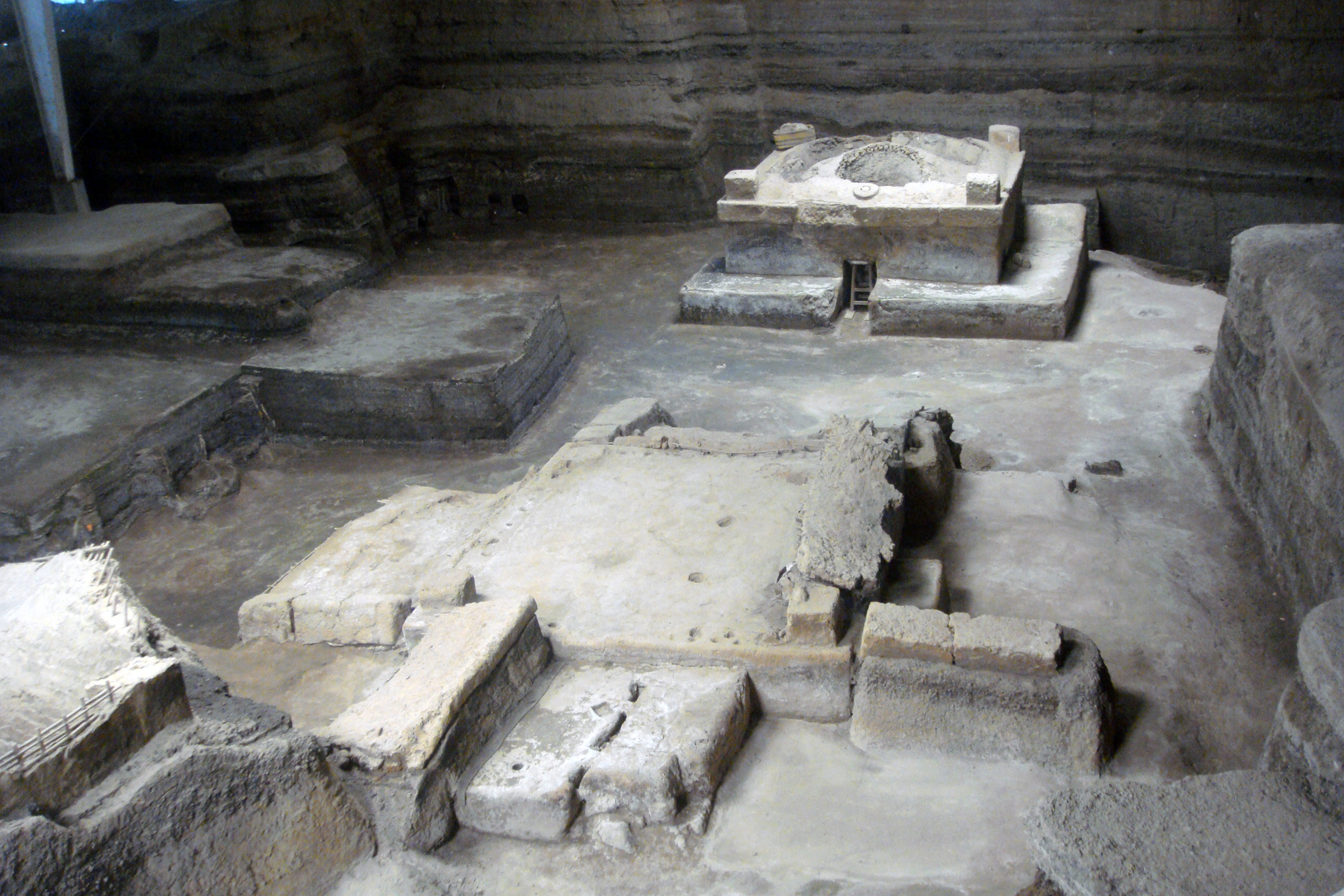
English: Remains of maya village of Joya de Cerén buried by volcano eruption around A.D. 600. Tamazcal (Structure 9) excavated at Area 2. Located in San Andres, Departament of Santa Ana, El Salvador
|
| ⧼wm-license-information-date⧽ | 2011 |
| ⧼wm-license-information-source⧽ | ⧼Wm-license-own-work⧽ |
| ⧼wm-license-information-author⧽ | Mariordo (Mario Roberto Durán Ortiz) |
ترخيص
|
تاريخ الملف
اضغط على زمن/تاريخ لرؤية الملف كما بدا في هذا الزمن.
| زمن/تاريخ | صورة مصغرة | الأبعاد | مستخدم | تعليق | |
|---|---|---|---|---|---|
| حالي | ★ مراجعة معتمدة 05:18، 13 ديسمبر 2023 | | 1٬800 × 1٬200 (1٫86 ميجابايت) | Pastakhov (نقاش | مساهمات) | Upload https://upload.wikimedia.org/wikipedia/commons/7/7a/ES_JoyadeCeren_06_2011_Estructura_9_Area_2_Tamazcal_2106_zoom_out.jpg |
لا يمكنك استبدال هذا الملف.
وصلات
لا يوجد صفحات تصل لهذه الصورة.