ملف:Eğribel Pass 02.JPG

حجم هذه المعاينة: 800 × 508 بكسل. البعدان الآخران: 2٬560 × 1٬625 بكسل | 4٬449 × 2٬824 بكسل.
الملف الأصلي (4٬449 × 2٬824 بكسل حجم الملف: 8٫98 ميجابايت، نوع MIME: image/jpeg)
وصف قصير
| ⧼wm-license-information-description⧽ |
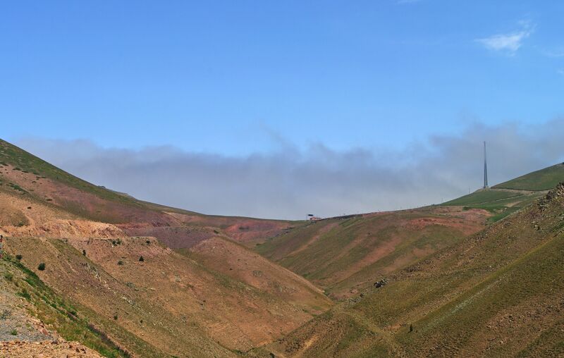
English: Southern view of Eğribel Pass (literally meaning concaved pass in Turkish), connecting the Black Sea region to the central Anatolian Plateau. Its altitude is 2200 m. (تركيا)
|
| ⧼wm-license-information-date⧽ | 2014, {{time}} – invalid date format 30 (help) |
| ⧼wm-license-information-source⧽ | ⧼Wm-license-own-work⧽ |
| ⧼wm-license-information-author⧽ | Zeynel Cebeci |
ترخيص
|
تاريخ الملف
اضغط على زمن/تاريخ لرؤية الملف كما بدا في هذا الزمن.
| زمن/تاريخ | صورة مصغرة | الأبعاد | مستخدم | تعليق | |
|---|---|---|---|---|---|
| حالي | ★ مراجعة معتمدة 14:33، 12 ديسمبر 2023 | | 4٬449 × 2٬824 (8٫98 ميجابايت) | Pastakhov (نقاش | مساهمات) | Upload https://upload.wikimedia.org/wikipedia/commons/6/61/E%C4%9Fribel_Pass_02.JPG |
لا يمكنك استبدال هذا الملف.
وصلات
لا يوجد صفحات تصل لهذه الصورة.