ملف:Drottningholms slott och park orienteringsplan.jpg
حجم هذه المعاينة: 800 × 593 بكسل. البعد الآخر: 2٬550 × 1٬890 بكسل.
الملف الأصلي (2٬550 × 1٬890 بكسل حجم الملف: 1٫2 ميجابايت، نوع MIME: image/jpeg)
وصف قصير
| ⧼wm-license-information-description⧽ |
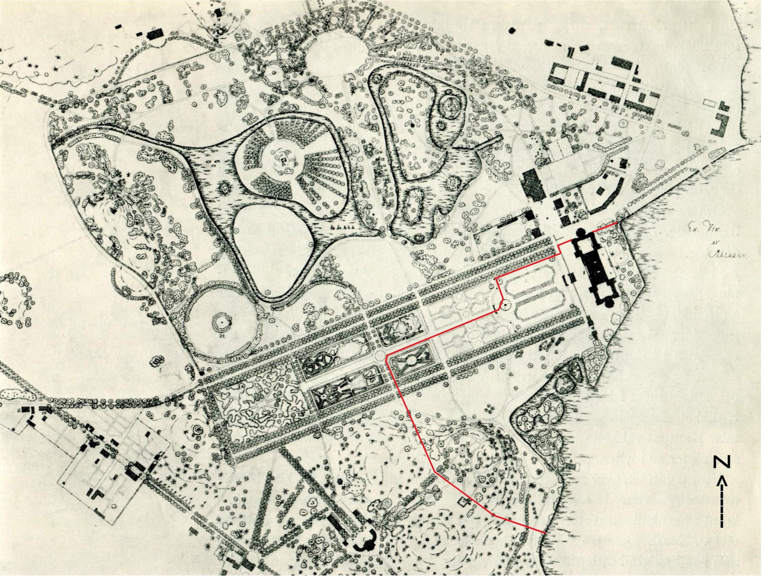
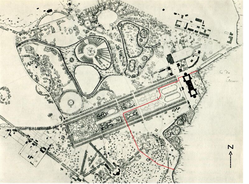
Svenska: Plan över Drottningholms slott och park, röd linje markerar utsträckningen av slottets skyddsobjekt.
|
||
| ⧼wm-license-information-date⧽ | 1600-tal, 1700-tal, 1800-tal | ||
| ⧼wm-license-information-source⧽ | Slottsarkitektkontoret | ||
| ⧼wm-license-information-author⧽ | Nicodemus Tessin d.ä., Nicodemus Tessin d.y., Fredrik Magnus Piper och senare uppdateringar | ||
| ⧼wm-license-information-permission⧽ (⧼wm-license-information-permission-reusing-text⧽) |
|
||
| ⧼wm-license-information-other-versions⧽ |
تاريخ الملف
اضغط على زمن/تاريخ لرؤية الملف كما بدا في هذا الزمن.
| زمن/تاريخ | صورة مصغرة | الأبعاد | مستخدم | تعليق | |
|---|---|---|---|---|---|
| حالي | ★ مراجعة معتمدة 09:26، 25 نوفمبر 2023 | | 2٬550 × 1٬890 (1٫2 ميجابايت) | Pastakhov (نقاش | مساهمات) | Upload https://upload.wikimedia.org/wikipedia/commons/f/f9/Drottningholms_slott_och_park_orienteringsplan.jpg |
لا يمكنك استبدال هذا الملف.
وصلات
لا يوجد صفحات تصل لهذه الصورة.