ملف:Drenica region.png

حجم هذه المعاينة: 543 × 599 بكسل. البعد الآخر: 1٬000 × 1٬104 بكسل.
الملف الأصلي (1٬000 × 1٬104 بكسل حجم الملف: 337 كيلوبايت، نوع MIME: image/png)
| ⧼wm-license-information-description⧽ |
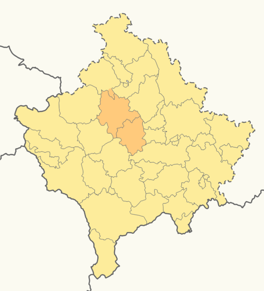
Municipalities of Glogovac and Srbica of Drenica region in Kosovo. |
| ⧼wm-license-information-date⧽ | 2010-02-13 00:34 (UTC) |
| ⧼wm-license-information-source⧽ | |
| ⧼wm-license-information-author⧽ |
|
|

قالب:Original upload log
This image is a derivative work of the following images:
- File:Kosovo_location_map.svg licensed with Cc-by-sa-3.0, GFDL
- 2009-11-23T13:03:40Z NordNordWest 1015x1150 (153007 Bytes) update
- 2009-05-06T18:49:31Z NordNordWest 1016x1150 (202268 Bytes) more detailed
- 2008-08-29T08:04:15Z NordNordWest 1016x1150 (80319 Bytes)
- 2008-08-01T17:41:53Z NordNordWest 339x383 (78574 Bytes) {{Information |Description= {{de|Positionskarte des [[:de:Kosovo|Kosovo]]}} Quadratische Plattkarte, N-S-Streckung 140 %. Geographische Begrenzung der Karte: * N: 43.4° N * S: 41.7° N * W: 19.8° O * O: 21.9° O {{en|Locati
تاريخ الملف
اضغط على زمن/تاريخ لرؤية الملف كما بدا في هذا الزمن.
| زمن/تاريخ | صورة مصغرة | الأبعاد | مستخدم | تعليق | |
|---|---|---|---|---|---|
| حالي | ★ مراجعة معتمدة 05:35، 9 ديسمبر 2023 | | 1٬000 × 1٬104 (337 كيلوبايت) | Pastakhov (نقاش | مساهمات) | Upload https://upload.wikimedia.org/wikipedia/commons/f/fa/Drenica_region.png |
لا يمكنك استبدال هذا الملف.
وصلات
لا يوجد صفحات تصل لهذه الصورة.