ملف:Donga communes.png
حجم هذه المعاينة: 776 × 600 بكسل. البعد الآخر: 1٬056 × 816 بكسل.
الملف الأصلي (1٬056 × 816 بكسل حجم الملف: 26 كيلوبايت، نوع MIME: image/png)
وصف قصير
| ⧼wm-license-information-description⧽ |
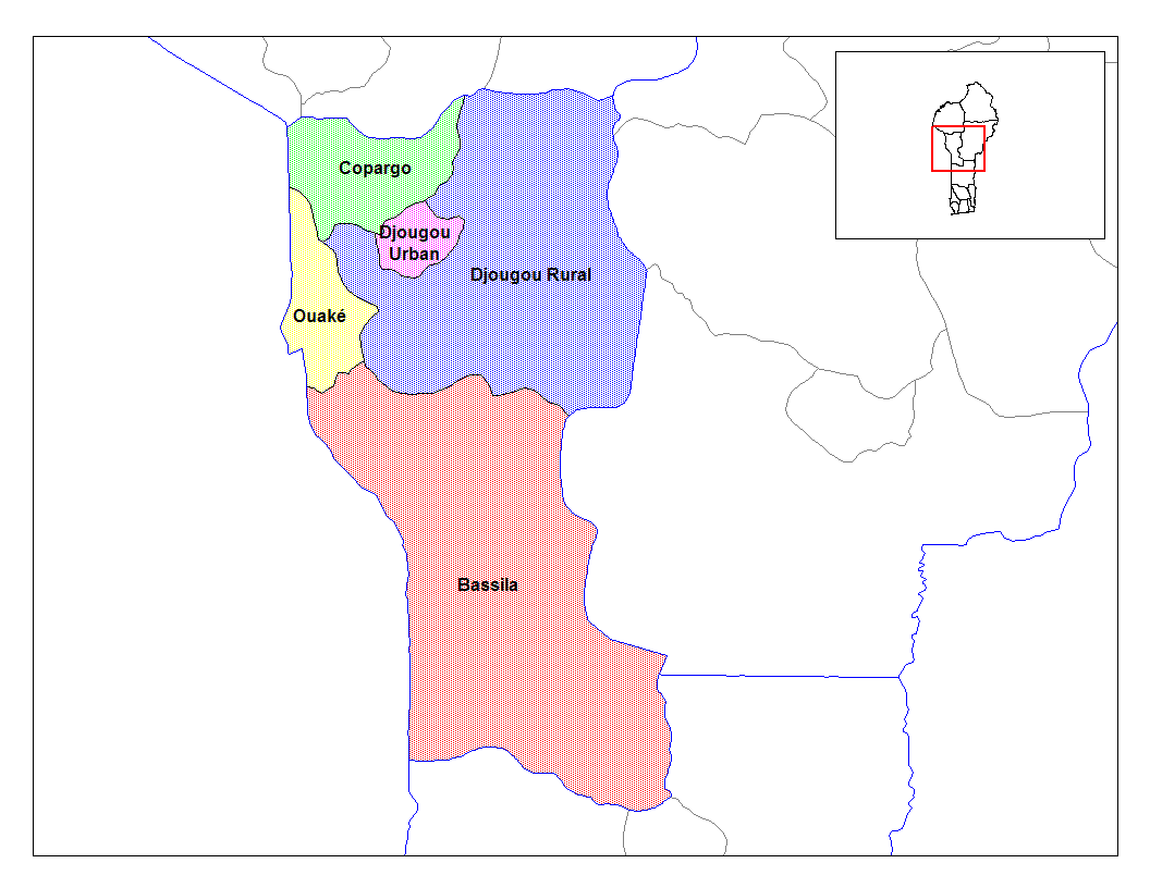
English: Map of the communes of the department of Donga, Benin. Created by Rarelibra for public domain use. Created using MapInfo Professional v7.5 and various mapping resources.
|
| ⧼wm-license-information-date⧽ | قالب:Original upload date |
| ⧼wm-license-information-source⧽ | Transferred from en.wikipedia |
| ⧼wm-license-information-author⧽ | Original uploader was Rarelibra at en.wikipedia |
| ⧼wm-license-information-permission⧽ (⧼wm-license-information-permission-reusing-text⧽) |
Released into the public domain (by the author). |
ترخيص
| [ This image has been (or is hereby) released into the public domain by its author, Rarelibra at the wikipedia project. This applies worldwide. In case this is not legally possible: Deutsch · Ελληνικά · English · Plattdüütsch · 中文(简体) · 中文(繁體) · +/− |
قالب:Original upload log
قالب:Original description page
- 2006-03-05 02:12 Rarelibra 1056×816× (26379 bytes) Map of the communes of the department of Donga, Benin. Created by Rarelibra for public domain use. Created using MapInfo Professional v7.5 and various mapping resources.
تاريخ الملف
اضغط على زمن/تاريخ لرؤية الملف كما بدا في هذا الزمن.
| زمن/تاريخ | صورة مصغرة | الأبعاد | مستخدم | تعليق | |
|---|---|---|---|---|---|
| حالي | ★ مراجعة معتمدة 06:43، 30 أكتوبر 2023 | | 1٬056 × 816 (26 كيلوبايت) | Pastakhov (نقاش | مساهمات) | Upload https://upload.wikimedia.org/wikipedia/commons/2/2e/Donga_communes.png |
لا يمكنك استبدال هذا الملف.
وصلات
لا يوجد صفحات تصل لهذه الصورة.