ملف:Derbyshire UK parish map highlighting Bradwell.svg

حجم معاينة PNG لذلك الملف ذي الامتداد SVG: 407 × 600 بكسل. البعد الآخر: 1٬390 × 2٬048 بكسل.
الملف الأصلي (ملف SVG، أبعاده 888 × 1٬308 بكسل، حجم الملف: 2٫34 ميجابايت)
وصف قصير
| ⧼wm-license-information-description⧽ |
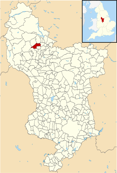
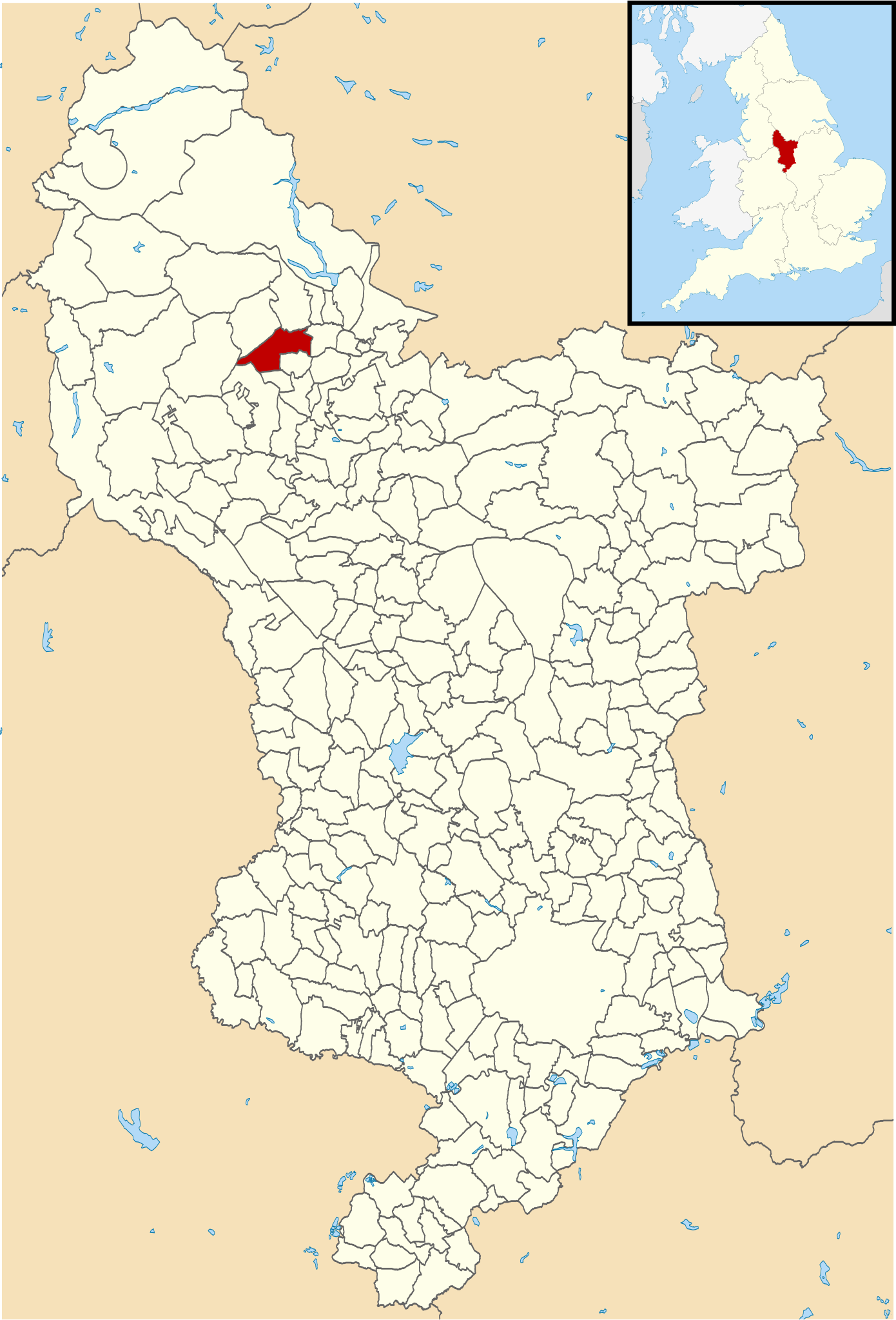
English: Blank map of Derbyshire, UK with civil parishes shown, and this parish highlighted. Modified from File:Derbyshire UK parish map (blank).svg, inset derived from File:England location map.svg.
|
| ⧼wm-license-information-date⧽ | 2014, {{time}} – invalid date format 17 (help) |
| ⧼wm-license-information-source⧽ | ⧼Wm-license-own-work⧽ |
| ⧼wm-license-information-author⧽ | Rcsprinter123 |
.svg&action=edit&redlink=1)
ترخيص
|
|
هذا الملفُّ مُرخَّص بموجب رخصة المشاع الإبداعي نسبة المُصنَّف إِلى مؤلفه - المشاركة بالمثل 3.0 العامة. |
تاريخ الملف
اضغط على زمن/تاريخ لرؤية الملف كما بدا في هذا الزمن.
| زمن/تاريخ | صورة مصغرة | الأبعاد | مستخدم | تعليق | |
|---|---|---|---|---|---|
| حالي | ★ مراجعة معتمدة 14:07، 4 نوفمبر 2023 | | 888 × 1٬308 (2٫34 ميجابايت) | Pastakhov (نقاش | مساهمات) | Upload https://upload.wikimedia.org/wikipedia/commons/9/92/Derbyshire_UK_parish_map_highlighting_Bradwell.svg |
لا يمكنك استبدال هذا الملف.
وصلات
لا يوجد صفحات تصل لهذه الصورة.