ملف:Denmark Armenia Locator.png
حجم هذه المعاينة: 800 × 514 بكسل. البعد الآخر: 1٬936 × 1٬245 بكسل.
الملف الأصلي (1٬936 × 1٬245 بكسل حجم الملف: 107 كيلوبايت، نوع MIME: image/png)
وصف قصير
| ⧼wm-license-information-description⧽ |
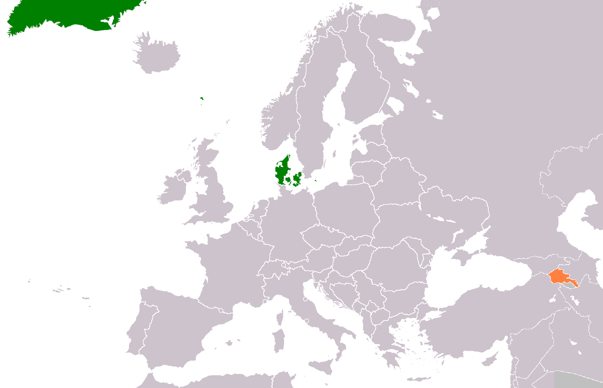
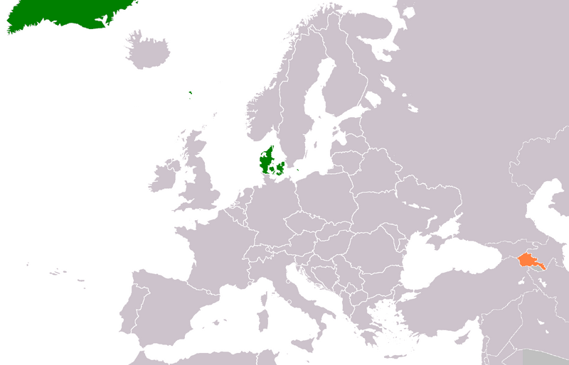
English: Map of Europe with the locations of Denmark (green) and Armenia (orange).
|
| ⧼wm-license-information-date⧽ | قالب:Original upload date |
| ⧼wm-license-information-source⧽ | ⧼Wm-license-own-work⧽ Transferred from en.wikipedia |
| ⧼wm-license-information-author⧽ | Phoenix B 1of3 at en.wikipedia |
ترخيص
قالب:Original upload log
قالب:Original description page
- 2012-01-21 16:33 Phoenix B 1of3 1936×1245 (109206 bytes)
- 2012-01-21 16:38 Phoenix B 1of3 1936×1245 (109221 bytes) Faroe Islands
تاريخ الملف
اضغط على زمن/تاريخ لرؤية الملف كما بدا في هذا الزمن.
| زمن/تاريخ | صورة مصغرة | الأبعاد | مستخدم | تعليق | |
|---|---|---|---|---|---|
| حالي | ★ مراجعة معتمدة 05:35، 11 أكتوبر 2023 | | 1٬936 × 1٬245 (107 كيلوبايت) | Pastakhov (نقاش | مساهمات) | Upload https://upload.wikimedia.org/wikipedia/commons/d/de/Denmark_Armenia_Locator.png |
لا يمكنك استبدال هذا الملف.
وصلات
لا يوجد صفحات تصل لهذه الصورة.