ملف:David IV map de.png

حجم هذه المعاينة: 771 × 599 بكسل. البعدان الآخران: 2٬560 × 1٬990 بكسل | 2٬990 × 2٬324 بكسل.
الملف الأصلي (2٬990 × 2٬324 بكسل حجم الملف: 3٫32 ميجابايت، نوع MIME: image/png)
|
وصف قصير
| ⧼wm-license-information-description⧽ |
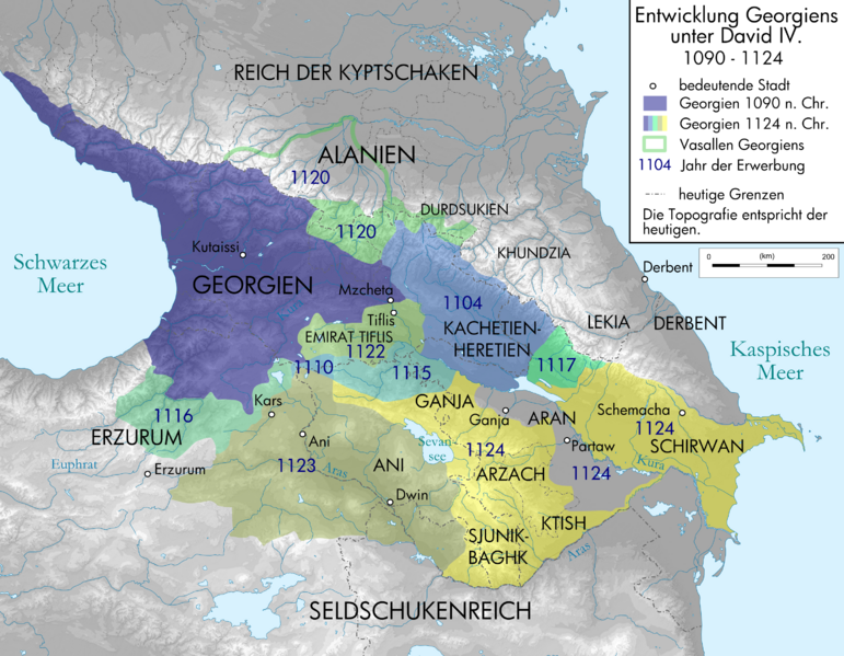
English: Map of Georgia under David IV. in German
Deutsch: Karte der Entwicklung Georgiens unter David IV. Quellen sind Putzger historischer Weltatlas Ausgabe 2005, Heinz Fähnrich: Geschichte Georgiens von den Anfängen bis zur Mongolenherrschaft. Shaker, Aachen 1993, ISBN 3-86111-683-9, File:Geor david.gif , http://www.armenica.org/cgi-bin/armenica.cgi?178711717323498=1=3==Armenia==1=3=AAA , File:Alania 10 12.png
|
| ⧼wm-license-information-date⧽ | 2010 |
| ⧼wm-license-information-source⧽ | Own work by uploader, derivate of File:Caucasus topographic map-fr.svg |
| ⧼wm-license-information-author⧽ | Don-kun, Bourrichon |
| ⧼wm-license-information-other-versions⧽ |
ملف:David IV map de.svg SVG-Version |
ترخيص
|

تاريخ الملف
اضغط على زمن/تاريخ لرؤية الملف كما بدا في هذا الزمن.
| زمن/تاريخ | صورة مصغرة | الأبعاد | مستخدم | تعليق | |
|---|---|---|---|---|---|
| حالي | ★ مراجعة معتمدة 16:01، 6 أكتوبر 2023 | | 2٬990 × 2٬324 (3٫32 ميجابايت) | Pastakhov (نقاش | مساهمات) | Upload https://upload.wikimedia.org/wikipedia/commons/1/1d/David_IV_map_de.png |
لا يمكنك استبدال هذا الملف.
وصلات
لا يوجد صفحات تصل لهذه الصورة.