ملف:DC districts map.png
حجم هذه المعاينة: 522 × 599 بكسل. البعد الآخر: 1٬500 × 1٬721 بكسل.
الملف الأصلي (1٬500 × 1٬721 بكسل حجم الملف: 1٫1 ميجابايت، نوع MIME: image/png)

|
[This image was moved to Wikimedia Commons from wts.oldwikivoyage using a bot script. All source information is still present. It requires review. Additionally, there may be errors in any or all of the information fields; information on this image should not be considered reliable and the image should not be used until it has been reviewed and any needed corrections have been made. Once the review has been completed, this template should be removed. For details, see below. Check now!] Error: {{Lang}}: text has italic markup (help)
Afrikaans | Deutsch | English | suomi | français | עברית | Plattdüütsch | Nederlands | русский | ไทย | +/− |
وصف قصير
| ⧼wm-license-information-description⧽ |
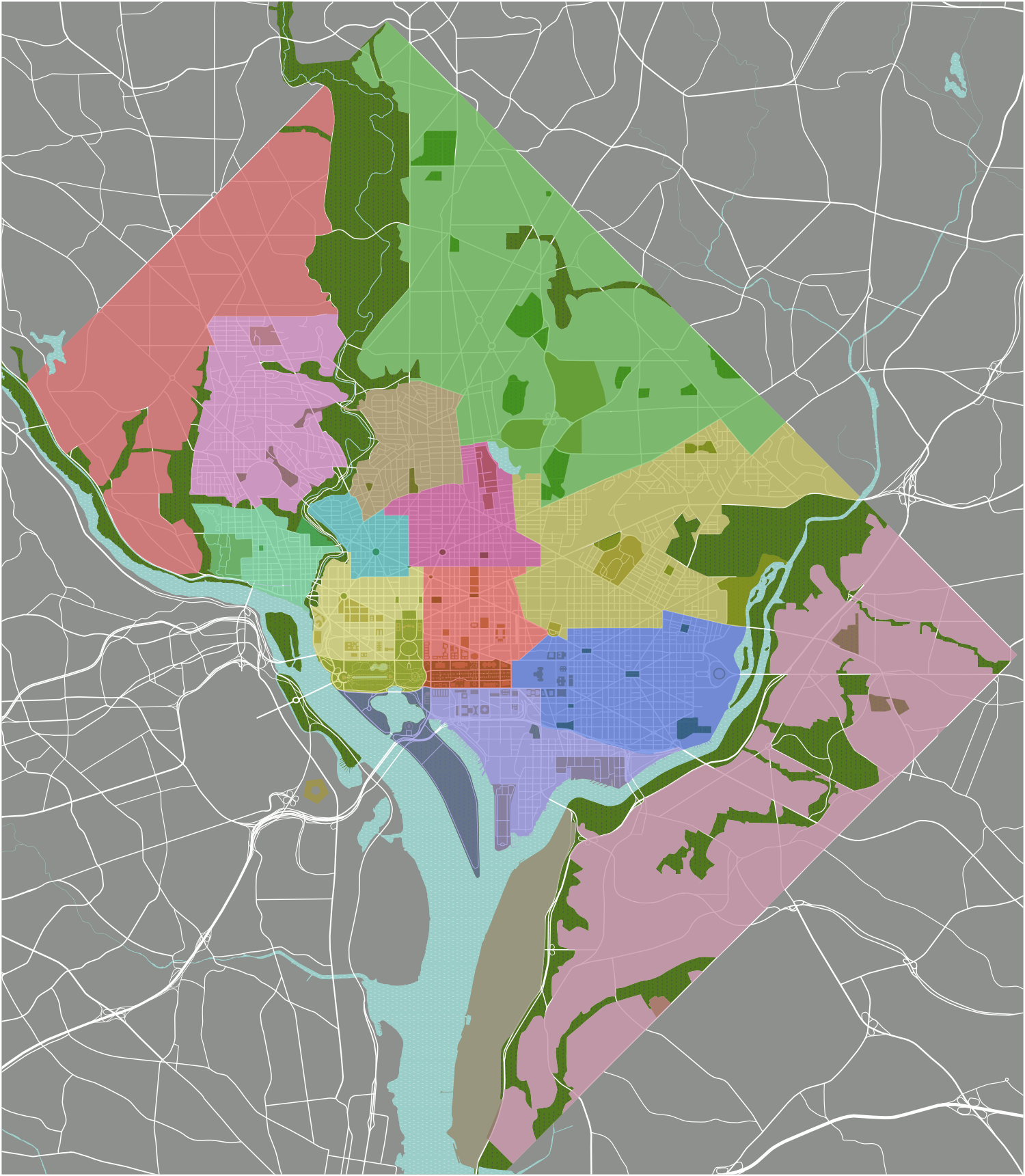
English: DC districts map. Districts in color and named, overlayed against some in-progress street grid work, parks, and major buildings/building complexes, plenty of updates left in store, Washington, D.C.
|
| ⧼wm-license-information-date⧽ | 2007 |
| ⧼wm-license-information-source⧽ | :Image:DC map.svg |
| ⧼wm-license-information-author⧽ | Peter Fitzgerald |
ترخيص
|
|
هذا الملفُّ مُرخَّص بموجب رخصة المشاع الإبداعي نسبة المُصنَّف إِلى مؤلفه - المشاركة بالمثل 3.0 العامة. |
قالب:Original upload log
Wikivoyage has a travel guide for wts.
قالب:Original description page
- 2008-01-20 09:45 (WT-shared) Peterfitzgerald Archive copy at the Internet Archive 1500×1721 (941209 bytes) {{Imagecredit|credit=Peter Fitzgerald|captureDate=20 January 2007|location=Washington, D.C.|source=[[:Image:DC map.svg]]|caption=DC district (Import from wikitravel.org/shared)
- 2008-01-21 09:36 (WT-shared) Peterfitzgerald Archive copy at the Internet Archive 1500×1721 (887098 bytes) rmv names, update boundaries, update color scheme (Import from wikitravel.org/shared)
- 2008-02-23 06:48 (WT-shared) Peterfitzgerald Archive copy at the Internet Archive 1500×1721 (1150528 bytes) street grid complete! (Import from wikitravel.org/shared)
تاريخ الملف
اضغط على زمن/تاريخ لرؤية الملف كما بدا في هذا الزمن.
| زمن/تاريخ | صورة مصغرة | الأبعاد | مستخدم | تعليق | |
|---|---|---|---|---|---|
| حالي | ★ مراجعة معتمدة 04:30، 12 نوفمبر 2023 | | 1٬500 × 1٬721 (1٫1 ميجابايت) | Pastakhov (نقاش | مساهمات) | Upload https://upload.wikimedia.org/wikipedia/commons/3/3b/DC_districts_map.png |
لا يمكنك استبدال هذا الملف.
وصلات
لا يوجد صفحات تصل لهذه الصورة.