ملف:Comuna de Tierra Amarilla.svg

حجم معاينة PNG لذلك الملف ذي الامتداد SVG: 450 × 600 بكسل. البعد الآخر: 1٬536 × 2٬048 بكسل.
الملف الأصلي (ملف SVG، أبعاده 600 × 800 بكسل، حجم الملف: 45 كيلوبايت)
| ⧼wm-license-information-description⧽ |
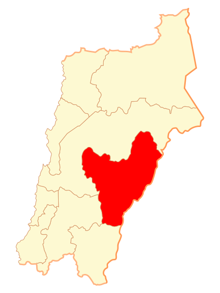
Mapa de la comuna de Tierra Amarilla, III Región de Atacama |
|
| ⧼wm-license-information-date⧽ | 2007 | |
| ⧼wm-license-information-source⧽ | ⧼Wm-license-own-work⧽قالب:Chilean map | |
| ⧼wm-license-information-author⧽ | Osmar Valdebenito | |
| ⧼wm-license-information-permission⧽ (⧼wm-license-information-permission-reusing-text⧽) |
|
تاريخ الملف
اضغط على زمن/تاريخ لرؤية الملف كما بدا في هذا الزمن.
| زمن/تاريخ | صورة مصغرة | الأبعاد | مستخدم | تعليق | |
|---|---|---|---|---|---|
| حالي | ★ مراجعة معتمدة 22:28، 13 أكتوبر 2023 | | 600 × 800 (45 كيلوبايت) | Pastakhov (نقاش | مساهمات) | Upload https://upload.wikimedia.org/wikipedia/commons/b/b8/Comuna_de_Tierra_Amarilla.svg |
لا يمكنك استبدال هذا الملف.
وصلات
لا يوجد صفحات تصل لهذه الصورة.