ملف:Comanche County Oklahoma Incorporated areas highlighting Lawton.svg

حجم معاينة PNG لذلك الملف ذي الامتداد SVG: 582 × 599 بكسل. البعد الآخر: 1٬990 × 2٬048 بكسل.
الملف الأصلي (ملف SVG، أبعاده 582 × 599 بكسل، حجم الملف: 801 كيلوبايت)
وصف قصير
قالب:Igen
| ⧼wm-license-information-description⧽ |
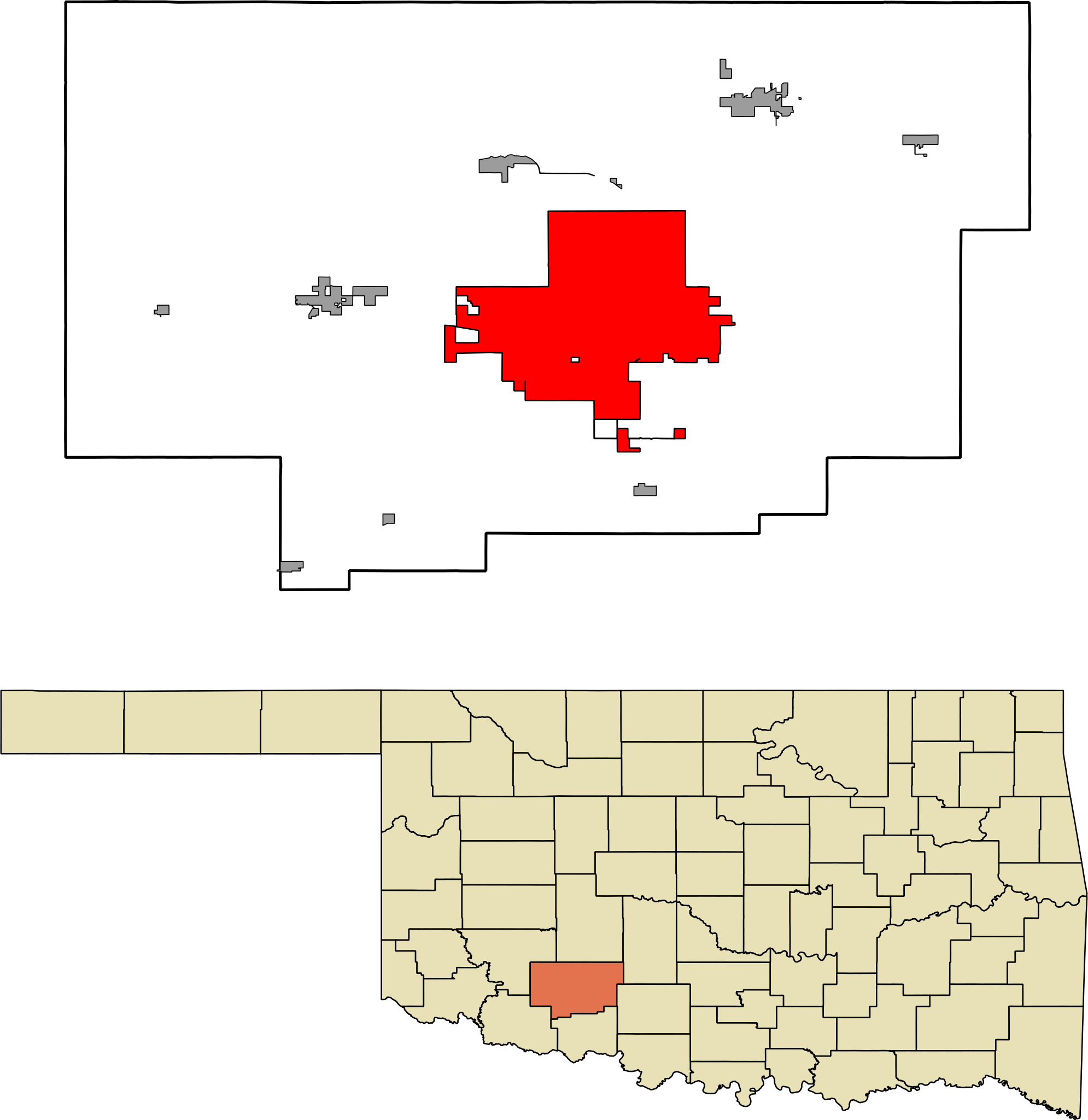
English: A map highlighting the city of Lawton in Comanche County in the US state of Oklahoma. Data provided from geo.ou.edu Based on similar maps from Ixnayonthetimmay
|
| ⧼wm-license-information-date⧽ | 2011 |
| ⧼wm-license-information-source⧽ | ⧼Wm-license-own-work⧽ |
| ⧼wm-license-information-author⧽ | قالب:Ut |
ترخيص
تاريخ الملف
اضغط على زمن/تاريخ لرؤية الملف كما بدا في هذا الزمن.
| زمن/تاريخ | صورة مصغرة | الأبعاد | مستخدم | تعليق | |
|---|---|---|---|---|---|
| حالي | ★ مراجعة معتمدة 03:28، 10 نوفمبر 2023 | | 582 × 599 (801 كيلوبايت) | Pastakhov (نقاش | مساهمات) | Upload https://upload.wikimedia.org/wikipedia/commons/7/79/Comanche_County_Oklahoma_Incorporated_areas_highlighting_Lawton.svg |
لا يمكنك استبدال هذا الملف.
وصلات
لا يوجد صفحات تصل لهذه الصورة.