ملف:Cnoc Eadar dha Allt - geograph.org.uk - 1030453.jpg
لا توجد دقة أعلى متوفرة.
Cnoc_Eadar_dha_Allt_-_geograph.org.uk_-_1030453.jpg (640 × 427 بكسل حجم الملف: 138 كيلوبايت، نوع MIME: image/jpeg)
وصف قصير
| ⧼wm-license-information-description⧽ |
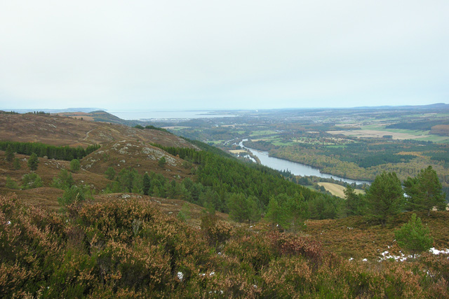
English: Cnoc Eadar dha Allt Looking across towards the rocky outcrop Cnoc Eadar dha Allt with Loch Dochfour to its right and the Beauly Firth in the far distance.
|
| ⧼wm-license-information-date⧽ | 2008 |
| ⧼wm-license-information-source⧽ | From geograph.org.uk |
| ⧼wm-license-information-author⧽ | George Brown |
| ⧼wm-license-cc-attribution⧽ (قالب:I18n/Credit line) |
George Brown / Cnoc Eadar dha Allt / |
57°24′17″N 4°21′46″W / 57.404631°N 4.36288°W قالب:Object location
_heading:45)
ترخيص
تاريخ الملف
اضغط على زمن/تاريخ لرؤية الملف كما بدا في هذا الزمن.
| زمن/تاريخ | صورة مصغرة | الأبعاد | مستخدم | تعليق | |
|---|---|---|---|---|---|
| حالي | ★ مراجعة معتمدة 02:42، 18 ديسمبر 2023 | | 640 × 427 (138 كيلوبايت) | Pastakhov (نقاش | مساهمات) | Upload https://upload.wikimedia.org/wikipedia/commons/b/b1/Cnoc_Eadar_dha_Allt_-_geograph.org.uk_-_1030453.jpg |
لا يمكنك استبدال هذا الملف.
وصلات
لا يوجد صفحات تصل لهذه الصورة.