ملف:Civic Centre, Strood - geograph.org.uk - 1043615.jpg
حجم هذه المعاينة: 450 × 599 بكسل. البعد الآخر: 481 × 640 بكسل.
الملف الأصلي (481 × 640 بكسل حجم الملف: 66 كيلوبايت، نوع MIME: image/jpeg)
وصف قصير
| ⧼wm-license-information-description⧽ |
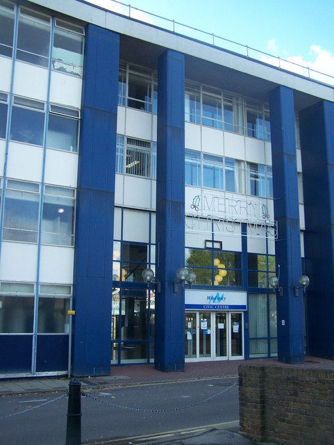
English: Civic Centre, Strood Medway Councils former Council Building on River Medway. On Esplanade, opposite High Street over Rochester Bridge. Now closed. Most functions taken by new smaller building at back, or by headquarters building on Dock Road, Chatham.
|
| ⧼wm-license-information-date⧽ | 2008 |
| ⧼wm-license-information-source⧽ | From geograph.org.uk |
| ⧼wm-license-information-author⧽ | David Anstiss |
| ⧼wm-license-cc-attribution⧽ (قالب:I18n/Credit line) |
David Anstiss / Civic Centre, Strood / |
51°23′35″N 0°29′56″E / 51.39315°N 0.4988°E قالب:Object location
_heading:270)
ترخيص
تاريخ الملف
اضغط على زمن/تاريخ لرؤية الملف كما بدا في هذا الزمن.
| زمن/تاريخ | صورة مصغرة | الأبعاد | مستخدم | تعليق | |
|---|---|---|---|---|---|
| حالي | ★ مراجعة معتمدة 10:39، 25 ديسمبر 2023 | | 481 × 640 (66 كيلوبايت) | Pastakhov (نقاش | مساهمات) | Upload https://upload.wikimedia.org/wikipedia/commons/1/19/Civic_Centre%2C_Strood_-_geograph.org.uk_-_1043615.jpg |
لا يمكنك استبدال هذا الملف.
وصلات
لا يوجد صفحات تصل لهذه الصورة.