ملف:Church Road, looking towards junction with South norwood Hill - geograph.org.uk - 1095554.jpg
لا توجد دقة أعلى متوفرة.
Church_Road,_looking_towards_junction_with_South_norwood_Hill_-_geograph.org.uk_-_1095554.jpg (640 × 428 بكسل حجم الملف: 105 كيلوبايت، نوع MIME: image/jpeg)
وصف قصير
| ⧼wm-license-information-description⧽ |
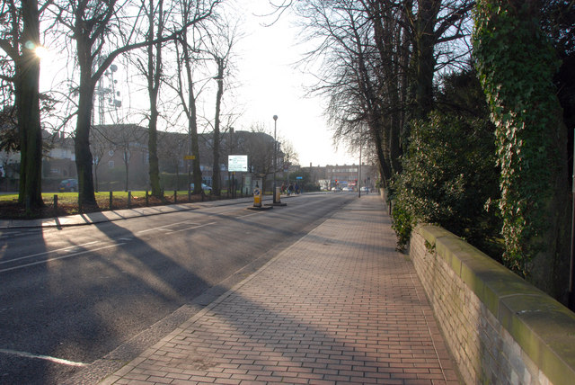
English: Church Road, looking towards junction with South norwood Hill All Saints Church wall on right hand side of image, telephone exchange in distance on left hand side, radio transmitter also visible.
|
| ⧼wm-license-information-date⧽ | 2008 |
| ⧼wm-license-information-source⧽ | From geograph.org.uk |
| ⧼wm-license-information-author⧽ | Chris L L |
| ⧼wm-license-cc-attribution⧽ (قالب:I18n/Credit line) |
Chris L L / Church Road, looking towards junction with South norwood Hill / |
51°24′42″N 0°05′07″W / 51.41180°N 0.0853°W قالب:Object location
_heading:225)
ترخيص
تاريخ الملف
اضغط على زمن/تاريخ لرؤية الملف كما بدا في هذا الزمن.
| زمن/تاريخ | صورة مصغرة | الأبعاد | مستخدم | تعليق | |
|---|---|---|---|---|---|
| حالي | ★ مراجعة معتمدة 08:41، 2 نوفمبر 2023 | | 640 × 428 (105 كيلوبايت) | Pastakhov (نقاش | مساهمات) | Upload https://upload.wikimedia.org/wikipedia/commons/e/e3/Church_Road%2C_looking_towards_junction_with_South_norwood_Hill_-_geograph.org.uk_-_1095554.jpg |
لا يمكنك استبدال هذا الملف.
وصلات
لا يوجد صفحات تصل لهذه الصورة.