ملف:Charlotte River Michigan.jpg

حجم هذه المعاينة: 800 × 533 بكسل. البعدان الآخران: 2٬560 × 1٬707 بكسل | 5٬472 × 3٬648 بكسل.
الملف الأصلي (5٬472 × 3٬648 بكسل حجم الملف: 17٫96 ميجابايت، نوع MIME: image/jpeg)
وصف قصير
| ⧼wm-license-information-description⧽ |
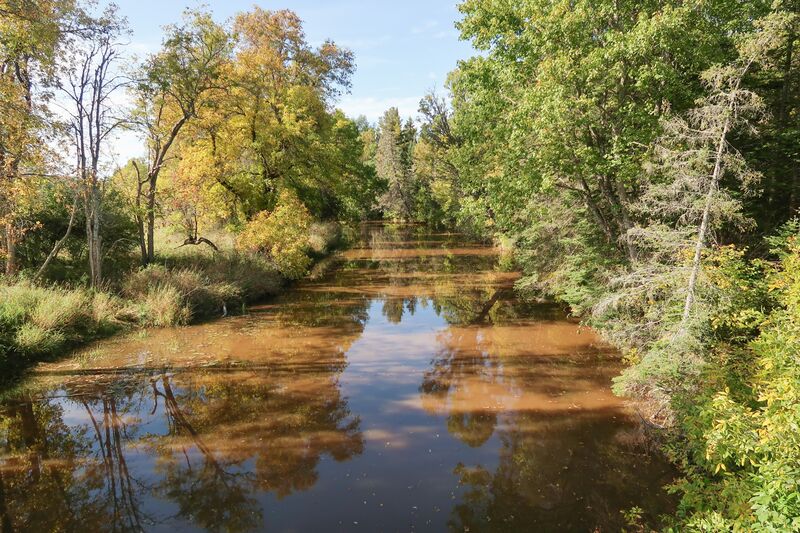
English: The Charlotte River as viewed from a bridge on East 12 Mile Road in Bruce Township, Chippewa County, Michigan.
|
| ⧼wm-license-information-date⧽ | قالب:Taken on |
| ⧼wm-license-information-source⧽ | ⧼Wm-license-own-work⧽ |
| ⧼wm-license-information-author⧽ | Tim Kiser (TimK MSI) |
46°19′58″N 84°15′10″W / 46.332651°N 84.252672°W
ترخيص
تاريخ الملف
اضغط على زمن/تاريخ لرؤية الملف كما بدا في هذا الزمن.
| زمن/تاريخ | صورة مصغرة | الأبعاد | مستخدم | تعليق | |
|---|---|---|---|---|---|
| حالي | ★ مراجعة معتمدة 16:39، 26 ديسمبر 2023 | | 5٬472 × 3٬648 (17٫96 ميجابايت) | Pastakhov (نقاش | مساهمات) | Upload https://upload.wikimedia.org/wikipedia/commons/2/2c/Charlotte_River_Michigan.jpg |
لا يمكنك استبدال هذا الملف.
وصلات
لا يوجد صفحات تصل لهذه الصورة.