ملف:Carte aerienne du robert ShockymapServer.jpg
لا توجد دقة أعلى متوفرة.
Carte_aerienne_du_robert_ShockymapServer.jpg (587 × 587 بكسل حجم الملف: 83 كيلوبايت، نوع MIME: image/jpeg)
وصف قصير
| ⧼wm-license-information-description⧽ |
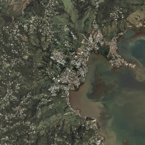
Français : la commune du Le Robert (97231) en Martinique (France).
|
| ⧼wm-license-information-date⧽ | |
| ⧼wm-license-information-source⧽ | page jaune |
| ⧼wm-license-information-author⧽ | satellite |
ترخيص
Hi, this image isn't property of Nasa but IGN (Institut National Géographique et Forestière). This image has been acquired by airplaine and this image was captured from www.pagesjaunes.fr through InterAtlas Shockymap Application, please contact IGN to have the permission to use it.
Regards.
تاريخ الملف
اضغط على زمن/تاريخ لرؤية الملف كما بدا في هذا الزمن.
| زمن/تاريخ | صورة مصغرة | الأبعاد | مستخدم | تعليق | |
|---|---|---|---|---|---|
| حالي | ★ مراجعة معتمدة 00:32، 25 أكتوبر 2023 | | 587 × 587 (83 كيلوبايت) | Pastakhov (نقاش | مساهمات) | Upload https://upload.wikimedia.org/wikipedia/commons/c/c8/Carte_aerienne_du_robert_ShockymapServer.jpg |
لا يمكنك استبدال هذا الملف.
وصلات
لا يوجد صفحات تصل لهذه الصورة.